What is recorded here
Located at the bottom of a steep E-facing slope which overlooks a slight col with a low hill c. 700m to the E. The cropmark of a circular area (diam. c. 48m E-W; c. 45m NNE-SSW) defined by a single fosse feature that is only evident SW-N-E is visible only on Google Earth (14/07/2018). There may be an entrance at E. It was first reported by Jean Charles Caillere.
Compiled by: Michael Moore
Date of upload: 17 September 2019
The monument record does not grant public access. Check the route and ask the landowner before entering private land.
- What survives
- Recorded monument
Places near here
 Embanked enclosureFairy fort / earthen ringfort · 1254 yd
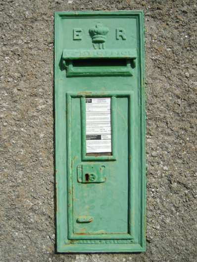 post boxpost box · 1443 yd
 All Saints' Catholic Churchchurch/chapel · 1515 yd
 Tombrick WoodForest · 1742 yd
 IndicatedFairy fort / ringfort · 1.3 mi
 Pedunculate OakPedunculate Oak · 1.5 mi
 Clohamon Castle (in ruins)Castle, unclassified · 3.1 mi
 Ryland Castle (in ruins)Castle, unclassified · 3.2 mi
 Bunclody 1798 Bicentenary MemorialMemorial · 4.7 mi
 1798 rebellion Battle of Newtownbarry (AKA Bunclody) commemorative plaqueMemorial · 4.7 mi
 Black Rock MountainMountain / peak · 4.8 mi
 John's HillMountain / peak · 5.5 mi