What is recorded here
Fairy fort in Carra, County Galway: a shallow earthen ring on a grassy ridge, partly erased by fields and time. The remaining bank curves from south through west to northwest, while a scarp completes the circle. A rectangular hollow in the northwest quadrant hints at a buried passage or forgotten entrance. People may have lived, hidden, or prayed inside before the land was cut for farming. The fort still holds its shape, waiting for attention.
On a ridge in grassland. Poorly preserved subcircular rath (36m N-S; 30.7m E-W) defined by an earthen bank from S through W to NW and elsewhere by a scarp. A field boundary cuts across the monument from NW to NE. A roughly rectangular hollow in the NW quadrant may mark the site of a possible Man-made underground passage (GA098-061001-).
Compiled by: Galway Archaeological Survey, UCG
Date of upload: 19 February 2019
The monument record does not grant public access. Check the route and ask the landowner before entering private land.
- What survives
- Recorded monument
Places near here
 Man-made underground passage in Carra (loughrea By.)Man-made underground passage · 1 yd
 Field system in Carra (loughrea By.)Field system · 827 yd
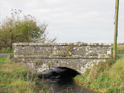 Carra Bridgebridge · 1227 yd
 Quarry in Ballintober WestQuarry · 1.5 mi
 Drought Castle (in Ruins)Castle, tower house · 2.4 mi
 Dartfield Horse MuseumHeritage attraction · 2.4 mi
 Turoe StoneHeritage attraction · 3.0 mi
 Galboley Castle (in ruins)Castle, unclassified · 3.0 mi
 Woodlawn WoodsForest · 4.9 mi
 Large-leaved LimeLarge-leaved Lime · 4.9 mi
 Bush IslandIslet · 5.4 mi
 Middle IslandIslet · 5.4 mi