What is recorded here
Half a century before carts rumbled past, people still called it a fort. Today the name has faded to fairy, as if the humans left and the field kept the shape for something smaller. The ridge may have belonged to herds, hunters or children chasing balls across grass. The circle remains clear enough to mark, but the life inside it has gone quiet.
Situated towards the top of the SW-facing spine of a NE-SW drumlin ridge. This rath is depicted on McCrea’s map of County Monaghan (1793), and on the 1834 edition of the OS 6-inch map where it is represented as an embanked circular feature (ext. diam. c. 45-50m) described in gothic script as a ‘fort’. It is visible as a slightly raised circular grass-covered area (diam. 28m N-S; 28m E-W) defined by a slight earthen bank and a slight curve in a NE-SW field bank at SE. There is no visible fosse or entrance.
The above description is derived from the published 'Archaeological Inventory of County Monaghan' (Dublin: Stationery Office, 1986). In certain instances the entries have been revised and updated in the light of recent research.
Revised by: Michael Moore
Date of revision: 29 January 2018
The monument record does not grant public access. Check the route and ask the landowner before entering private land.
- What survives
- Recorded monument
Places near here
 CairnCairn, unclassified · 237 yd
 Church in Templetate (dartree By., Clones Par.)Church · 612 yd
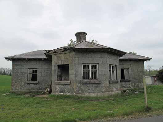 Templetate Locklock keeper's house · 716 yd
 Giants GraveCourt tomb · 964 yd
 Roosky Castle (Site of)Castle, ringwork · 1.4 mi
 Lisarrilly HillMountain / peak · 1.4 mi
 Jaundice WellSpring · 1.6 mi
 KillycoonaghWood · 3.1 mi
 Common LimeCommon Lime · 3.2 mi
 Rough HillMountain / peak · 3.3 mi
 Saint John's WellSpring · 3.3 mi
 Dagda's CauldronHeritage attraction · 4.7 mi