What is recorded here
Clear fact: Fairy fort / earthen ringfort in Carnacally is a Ringfort - rath. It is located at County Meath, Ireland. The distinction matters because identity, record and comparison all depend on it.
Located on top of a drumlin. This is a circular grass and rush –covered area (diam. 35.5m N-S: 34m E-W) defined by an earthen bank (at SW: Wth of base 5m; Wth of top 1.4m; int. H 1.1m; ext. H 3m) with some bushes and an outer fosse (at SW: Wth of top 5.9m; Wth of base 2.9m; ext. D 0.6m), with the remains of an outer bank that has an outer field bank built into its outer face (at N: total Wth of base 6.5m; int. H 2.9m; ext. H 1.2m) NW-E. There is an entrance (Wth of base 2.9m) and causeway (Wth of top 3.2m; H 1.2m) at SSE. The rath is surrounded by a field bank WSW-NE. The interior and the banks have become somewhat overgrown since 1969 (Digitalmap).
The above description is derived from the published 'Archaeological Inventory of County Meath' (Dublin: Stationery Office, 1987). In certain instances the entries have been revised and updated in the light of recent research.
Compiled by: Michael Moore
Date of revision: 31 August 2018
The monument record does not grant public access. Check the route and ask the landowner before entering private land.
- What survives
- Recorded monument
Places near here
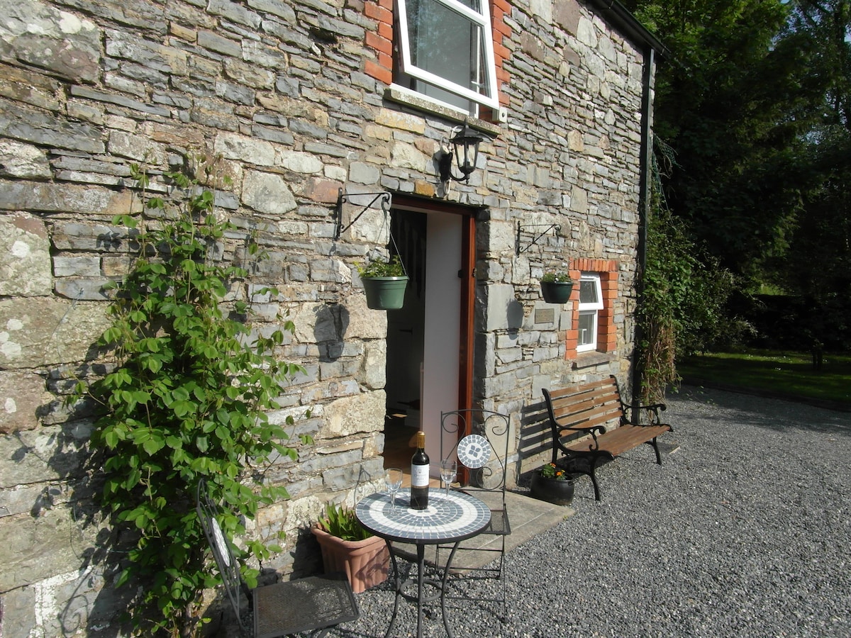 Enclosure in EdengoraEnclosure · 1457 yd
 IndicatedEnclosure · 1.2 mi
 Miltown GlenWood · 1.7 mi
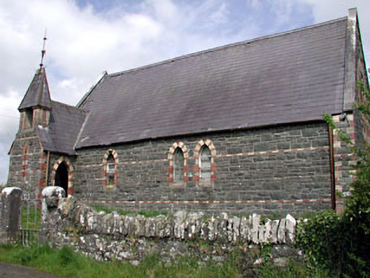 Saint Columba's Church (Moybolgue)church/chapel · 1.7 mi
 presbytery/parochial/curate's housepresbytery/parochial/curate's house · 2.0 mi
 The CurraghWood · 2.4 mi
 Castkecome RuinsCastle, unclassified · 2.5 mi
 UghtyneillMountain / peak · 3.0 mi
 Castle in ruinsCastle, unclassified · 3.0 mi
 TeevurcherMountain / peak · 3.1 mi
 Fair of MuffMemorial · 3.1 mi
 Giants GraveArchaeological place · 4.3 mi