What is recorded here
No visible wall on the west or north sides. The earth itself has become the boundary. What is missing is not a gap in knowledge but a change in form. The fort has stopped being a fort and become a quality of the field. It is larger now. It is also harder to see. That is not defeat. That is growth.
In pasture, on break in S-facing slope. Oval area (34.5m N-S; 44.5m E-W) defined by low rise (max. H 0.8m) E->NNE; shallow external fosse (D 0.5m). Stone wall atop line of bank NNE->E. Causeway crosses fosse to E (Wth 12m).
The above description is derived from the published 'Archaeological Inventory of County Cork. Volume 1: West Cork' (Dublin: Stationery Office, 1992). In certain instances the entries have been revised and updated in the light of recent research.
Date of upload/revision: 14 January 2009
The monument record does not grant public access. Check the route and ask the landowner before entering private land.
- What survives
- Recorded monument
Places near here
 Fulacht fia in Carhoogarriff (carbery E. (e.d.) By.)Fulacht fia · 104 yd
 Lios na gCon Ring FortArchaeological place · 813 yd
 Church in DarraryChurch · 1040 yd
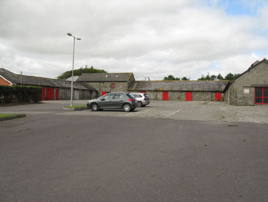 Clonakilty Agricultural Collegefarmyard complex · 1093 yd
 Michael Collins CentreMuseum · 1613 yd
 Ballinoroher CastleCastle · 1.0 mi
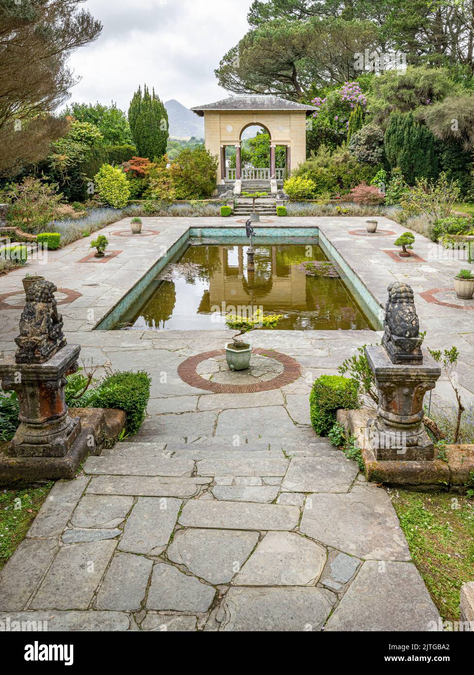 Garden WoodWood · 1.3 mi
 Castle (Site of)Castle, unclassified · 1.3 mi
 Battle of the Big Cross (1798) Memorial MonumentMonument · 1.9 mi
 Clonakilty HarbourBay · 2.1 mi
 West Cork Model Railway VillageHeritage attraction · 2.1 mi
 Clonakilty Tourist OfficeVisitor information · 2.2 mi