What is recorded here
No. Retire the claim. Stop forcing the story. If you want to continue, send the facts for the new one.
In rolling pastureland. Marked on the 1st edition (1838) of the OS 6-inch map as a circular enclosure; partially levelled by the time of the 3rd edition (1933). This poorly preserved rath (diam. 40m) is defined by a low bank from N through E to S. A field wall cuts through it from NW to SW and no visible surface trace of it survives to the W of the wall. (McCaffrey 1952, 221, no. 89)
Compiled by: Galway Archaeological Survey, UCG
Date of upload: 18 February 2019
The monument record does not grant public access. Check the route and ask the landowner before entering private land.
- What survives
- Recorded monument
Places near here
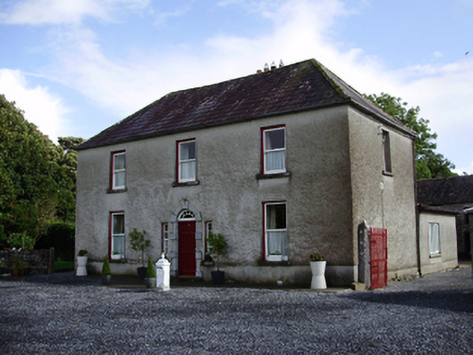 Carheen Househouse · 383 yd
 Field system in CarheenField system · 465 yd
 Killogilleen Church (in ruins)Church · 637 yd
 Cregg Castle (in ruins)Castle, tower house · 666 yd
 CaveMan-made underground passage · 840 yd
 CarnanthomasCastle, unclassified · 1.3 mi
 Scalpeen RockNamed rock · 5.8 mi
 Kilcornan ForestWood · 6.8 mi
 Loughaun WoodWood · 7.4 mi
 Drumacoo Monastic SiteHeritage attraction · 8.1 mi
 MweenisharanIslet · 9.6 mi
 Mulroney's IslandIslet · 10 mi