What is recorded here
Fairy fort in Caraun More is a well-preserved almost circular rath, thirty-six metres north-south and thirty-five metres east-west, defined by two banks and an intervening fosse in level poorly drained grassland. The outer bank appears only at northwest and northeast, while no visible trace remains from north to northeast or at south. People may have lived inside, excluded others at the gap, or left the place open to rain and memory.
In level poorly drained grassland. Well-preserved almost circular rath (N-S 36m, E-W 35m) defined by two banks and an intervening fosse. The outer bank is visible only at NW and NE, and no visible surface trace of the enclosing elements survives from N to NE or at S.
The above description is derived from the published 'Archaeological Inventory of County Galway Vol. II - North Galway'. Compiled by Olive Alcock, Kathy de hÓra and Paul Gosling (Dublin: Stationery Office, 1999).
Date of upload: 05 August 2010
The monument record does not grant public access. Check the route and ask the landowner before entering private land.
- What survives
- Recorded monument
Places near here
 ToberdoneyHoly well · 488 yd
 BenmoreHouse, 18th/19th century · 1358 yd
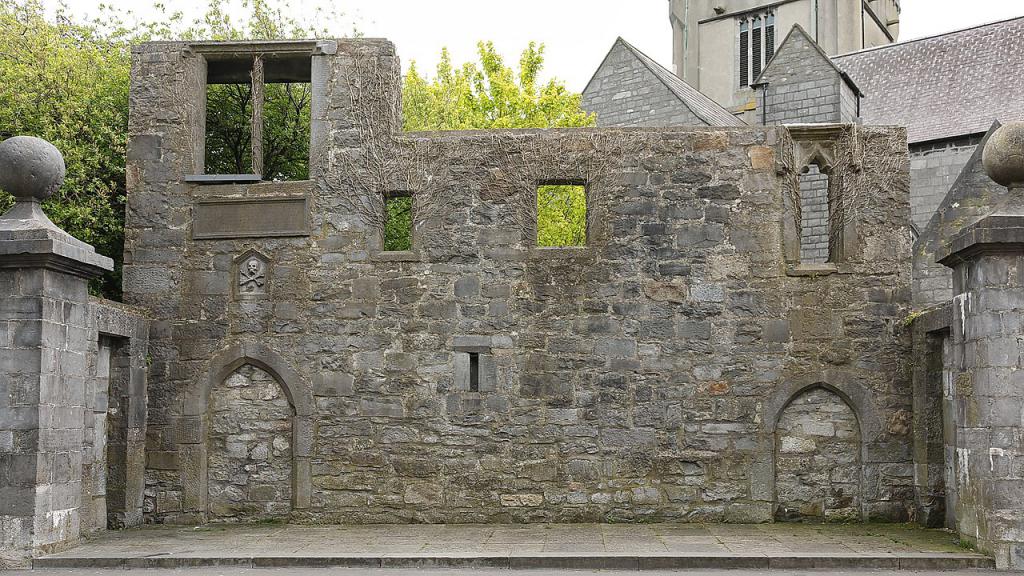 Ecclesiastical enclosure in KillescraghEcclesiastical enclosure · 1381 yd
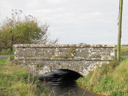 Carra Bridgebridge · 1.8 mi
 Galboley Castle (in ruins)Castle, unclassified · 1.8 mi
 Turoe StoneHeritage attraction · 2.0 mi
 Woodlawn WoodsForest · 3.9 mi
 Site of Lisnamoltaun CastleCastle, unclassified · 4.0 mi
 European Crab AppleEuropean Crab Apple · 4.3 mi
 Dartfield Horse MuseumHeritage attraction · 4.4 mi
 Battle of Aughrim Interpretative CentreMuseum · 9.2 mi
 Battle of AughrimMajor battlefield · 9.3 mi