What is recorded here
Fairy fort in Cappeen East is a 42m earthen ring with a 3.1m bank and a small circular hut inside, still standing in pasture on a SW-facing slope. It is the kind of place where people once drew a line around the world and called the inside theirs. The fairies may have taken it back later, but the earth remembers every footprint that crossed its threshold.
In pasture, on SW-facing slope. Roughly circular raised area (42m N-S; 38m E-W) enclosed by earthen bank (H 3.1m), stone faced in parts. Stone-faced entrance to S (Wth 2m). Laneway runs outside bank N->S. Circular hut site (diam. 4.6m) (CO094-066001-), defined by earth and stone bank (H 0.4m) with stone facing in interior.
The above description is derived from the published 'Archaeological Inventory of County Cork. Volume 1: West Cork' (Dublin: Stationery Office, 1992). In certain instances the entries have been revised and updated in the light of recent research.
Date of upload/revision: 14 January 2009
The monument record does not grant public access. Check the route and ask the landowner before entering private land.
- What survives
- Recorded monument
Places near here
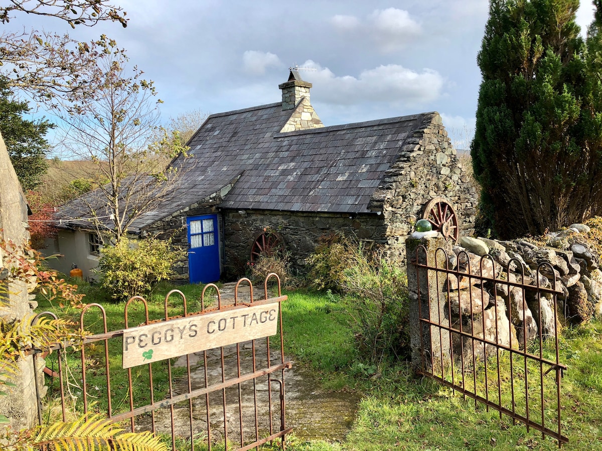 Hut site in Cappeen EastHut site · 1 yd
 Fulacht fia in Paddock (carbery East (w.d) By., Kinneigh Par.)Fulacht fia · 779 yd
 monumentmonument · 1537 yd
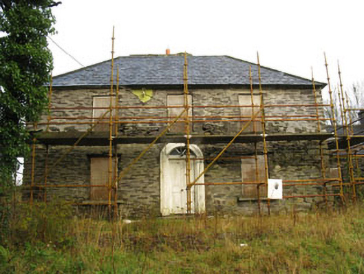 Tower Viewhouse · 1.2 mi
 Castle RockNamed rock · 2.0 mi
 Green HillMountain / peak · 2.8 mi
 OCrowleys Castle (in Ruins)Castle, tower house · 3.6 mi
 Irish National Forestry FoundationNature reserve · 3.9 mi
 Kilmichael Ambush SiteMonument · 4.3 mi
 Kilmichael Ambushambush · 4.3 mi
 The GlenWood · 4.7 mi
 Michael Collins MemorialMemorial · 5.2 mi