What is recorded here
Fairy fort in Cappaleigh South: a twenty-metre earthen ring on a hillock, with a causeway entrance and a stone line crossing the middle. People may have lived there before becoming a legend, or the legend may have grown from the shape itself. Either way, the bank still stands where ordinary pasture forgets it.
In pasture, atop hillock. Circular, slightly raised area (20m N-S; 20m E-W) enclosed by earthen bank (ext. H 1.7m); external fosse (D 0.2m) SE->ENE; counterscarp bank (H 0.6m) W->NE. Entrance (Wth 4m) to WSW, with causeway. Interior divided by stone field boundary, on NNE-SSW axis.
The above description is derived from the published 'Archaeological Inventory of County Cork. Volume 1: West Cork' (Dublin: Stationery Office, 1992). In certain instances the entries have been revised and updated in the light of recent research.
Date of upload/revision: 14 January 2009
The monument record does not grant public access. Check the route and ask the landowner before entering private land.
- What survives
- Recorded monument
Places near here
 Boulder-burial in Cappaleigh NorthBoulder-burial · 378 yd
 Stone CircleHut site · 475 yd
 Hungry Hill GalleryGallery · 879 yd
 Mass MountMountain / peak · 1243 yd
 West Cork Sailing & Powerboating CentreHeritage attraction · 1267 yd
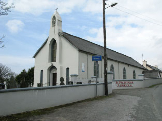 St. Fachtna's Roman Catholic Churchchurch/chapel · 1290 yd
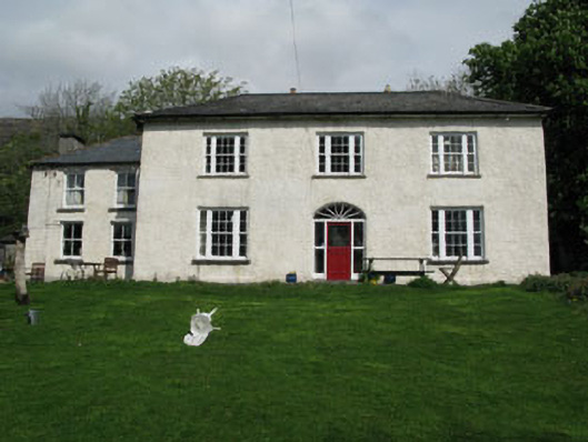 Adrigole Houserectory/glebe/vicarage/curate's house · 1314 yd
 Graveyard in DrumlaveGraveyard · 1318 yd
 Orthon's IslandIslet · 1627 yd
 Adrigole MountainMountain / peak · 1.4 mi
 Shot HeadHeadland · 2.0 mi
 Loughure IslandIslet · 2.5 mi