What is recorded here
Death and destruction everywhere. A, B and C lived in the area. They had no choice but to fight back. They assembled a small force and attacked the nearest enemy camp at dawn. They killed every occupant they found. They took the weapons, food and horses left behind. They returned home before dusk.
On a ridge summit in grassland. An almost circular rath (D 30m), in fair condition, defined by two banks and an intervening fosse. The inner bank is visible at NE; elsewhere a scarp forms the enclosing element. The fosse and outer bank are best preserved at NE. A gap at E may be original.
The above description is derived from the published 'Archaeological Inventory of County Galway Vol. II - North Galway'. Compiled by Olive Alcock, Kathy de hÓra and Paul Gosling (Dublin: Stationery Office, 1999).
Date of upload: 05 August 2010
The monument record does not grant public access. Check the route and ask the landowner before entering private land.
- What survives
- Recorded monument
Places near here
 LisnapastiaFairy fort / earthen ringfort · 330 yd
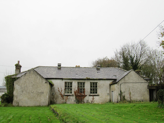 Clontuskert National Schoolschool · 589 yd
 Chapel FortFairy fort / earthen ringfort · 595 yd
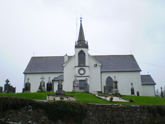 Saint Augustine's Catholic Churchchurch/chapel · 790 yd
 European BeechEuropean Beech · 1.1 mi
 European YewEuropean Yew · 1.4 mi
 Ballagh Castle (in Ruins)Castle, unclassified · 1.4 mi
 Oghil Castle (in ruins)Castle, tower house · 2.6 mi
 Urraghry HillMountain / peak · 2.9 mi
 The bloody HollowHeritage attraction · 3.3 mi
 Ardcarn IslandsIslet · 3.3 mi
 Battle of AughrimMajor battlefield · 3.6 mi