What is recorded here
Caolmhagh Mór holds a thirty-eight metre earthen ring on a south-facing slope, its steep scarp and bank still marking the boundary between human ambition and wild ground. The broken northeast gap invites entry, while cultivation ridges crossing the interior suggest people once forced life from that tilted soil. Others call it a fairy fort, reminding us that borders drawn in earth often belong to more than one kind of creature.
In pasture, on S-facing slope. Circular area (38m N-S; 38m E-W) defined by scarp (H 2.25m) ESE->SW; bank (H 2.1m) SW->NNE. Bank replaced by field fence NNE->ESE. Break (Wth 4.4m) in bank to NE. No visible surface trace of limekiln marked in bank to SE on 1842 OS 6-inch map. Interior raised on S side to compensate for hillslope; crossed by remains of cultivation ridges on N-S axis; silage pit in SE quadrant.
The above description is derived from the published 'Archaeological Inventory of County Cork. Volume 3: Mid Cork' (Dublin: Stationery Office, 1997). In certain instances the entries have been revised and updated in the light of recent research.
Date of upload/revision: 14 January 2009
The monument record does not grant public access. Check the route and ask the landowner before entering private land.
- What survives
- Recorded monument
Places near here
 Giants GraveWedge tomb · 1739 yd
 Hut site in Doire Mhic CoirnínHut site · 1.0 mi
 Stepping StonesClapper bridge · 1.4 mi
 CarriganineMountain / peak · 1.4 mi
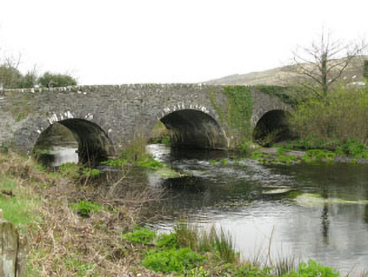 Inchinossig Bridgebridge · 1.4 mi
 Mount ProspectMountain / peak · 2.1 mi
 Gortnahoughtee Mass RockNamed rock · 3.3 mi
 Gougane BarraValley and heritage place · 3.8 mi
 European ashEuropean ash · 4.0 mi
 Togher CastleCastle, tower house · 5.2 mi
 Sli Gaeltacht MuscraiWalking route · 5.4 mi
 Port Ban Nature Reserve, Irish Wildlife TrustNature reserve · 6.1 mi