What is recorded here
Fairy fort in Camas, County Limerick: a circular embankment about fifty metres across, drawn on the 1924 map and now levelled into pasture. What remained was a faint shallow trench running east-north-east to south-south-west, a ghost of the ring's edge. People may have kept animals there, set boundaries around it, or avoided it because fairy stories made the ground suspicious. The earth has taken back most of the shape, but the ditch still marks the place where human hands once drew a circle wide enough to be seen from a distance.
In pasture, on elevated plateau sloping slightly down to SE. Monument, depicted on 1924 OS 6-inch map as embanked circular enclosure (diam. c. 50m), has been levelled. Only indication of enclosing element is slight depression ENE->SSW. Field boundaries have been removed in vicinity of site.
Compiled by: Denis Power
Date of upload: 26 August 2011
The monument record does not grant public access. Check the route and ask the landowner before entering private land.
- What survives
- Recorded monument
Places near here
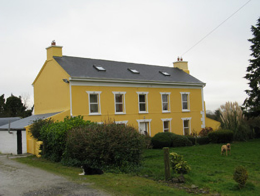 Camas Househouse · 666 yd
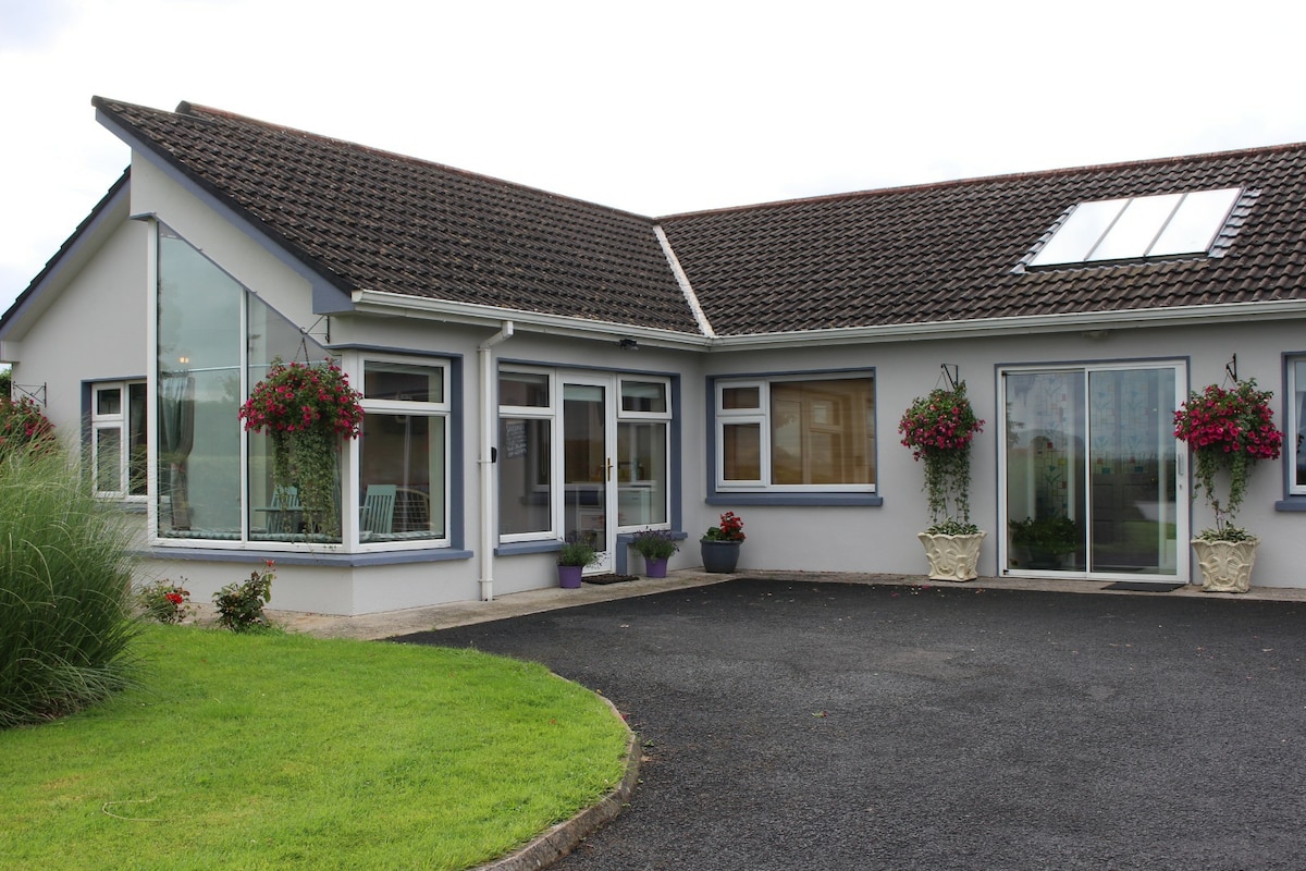 Enclosure in CamasEnclosure · 907 yd
 Moated site in ArranaghMoated site · 1096 yd
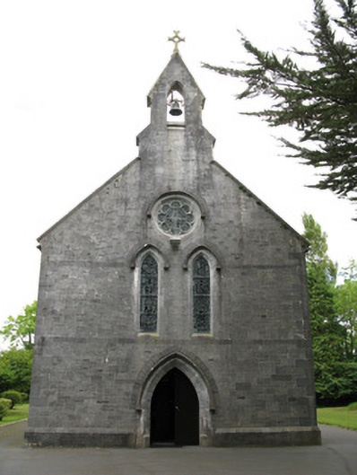 Saint Mary's Catholic Churchchurch/chapel · 1.3 mi
 Dotted outlineBawn · 1.7 mi
 Saint Ite's WellSpring · 1.7 mi
 Glenquin CastleCastle · 2.4 mi
 Ballagh MountainMountain / peak · 2.9 mi
 TobereenalaffinaSpring · 4.7 mi
 Limerick GreenwayWalking route · 4.8 mi
 Sugar HillMountain / peak · 4.9 mi
 Mullaghareirk - Banane LoopWalking route · 6.5 mi