What is recorded here
Fairy forts are human ringforts, built and abandoned centuries before fairy labels appeared. In Camas that is a fifty-metre circular scarped area on an open plateau, with a shallow external ditch and a farm road cutting across it. The fairies belong in the story told about it, not the evidence standing in the field.
In pasture, on level plateau overlooking lower land to N. Circular area (diam. 50m) defined by a scarped edge (H 0.2m; Wth 2m), with external fosse (Wth 3.4m; D 0.1m) NW->NE and ENE->SE. Farm road runs E to W through site crossing scarped edge at NE and WNW. Topsoil recent removed from SW quadrant of interior. Entire site under pasture.
Compiled by: Denis Power
Date of upload: 26 August 2011
The monument record does not grant public access. Check the route and ask the landowner before entering private land.
- What survives
- Recorded monument
Places near here
 Mound in CamasMound · 764 yd
 Killeedy Church (in ruins)Church · 1573 yd
 Grave YardGraveyard · 1577 yd
 Saint Ite's WellSpring · 1597 yd
 Dotted outlineBawn · 1634 yd
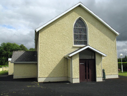 Saint Ita's Catholic Churchchurch/chapel · 1717 yd
 Ballagh MountainMountain / peak · 2.0 mi
 Glenquin CastleCastle · 2.3 mi
 TobereenalaffinaSpring · 5.2 mi
 Mullaghareirk - Banane LoopWalking route · 5.3 mi
 Barnagh HillMountain / peak · 5.5 mi
 Limerick GreenwayWalking route · 5.9 mi