What is recorded here
Mature ash trees straddle the earthen bank of the Camas ringfort, hiding a circular enclosure where grass still covers the interior. The south-facing slope holds a dry pasture today, but the surviving north-western curve suggests people once shaped that land before ploughs and boundaries cut through it. The fairy fort name captures the local belief that the site belongs to something older and less reasonable than human history.
In dry pasture, on slight S-facing slope. Roughly circular area (38m N-S; 34m E-W) enclosed by earthen bank (int. H 0.65m; ext. H c. 2.4m) with external fosse (Wth c. 5m; D c. 1m). Bank and fosse, best preserved NNW->SW, are almost fully levelled SW->NNW. A N-S running field boundary crosses interior on E side. Bank covered by mature ash trees. Level interior is under grass.
Compiled by: Denis Power
Date of upload: 26 August 2011
The monument record does not grant public access. Check the route and ask the landowner before entering private land.
- What survives
- Recorded monument
Places near here
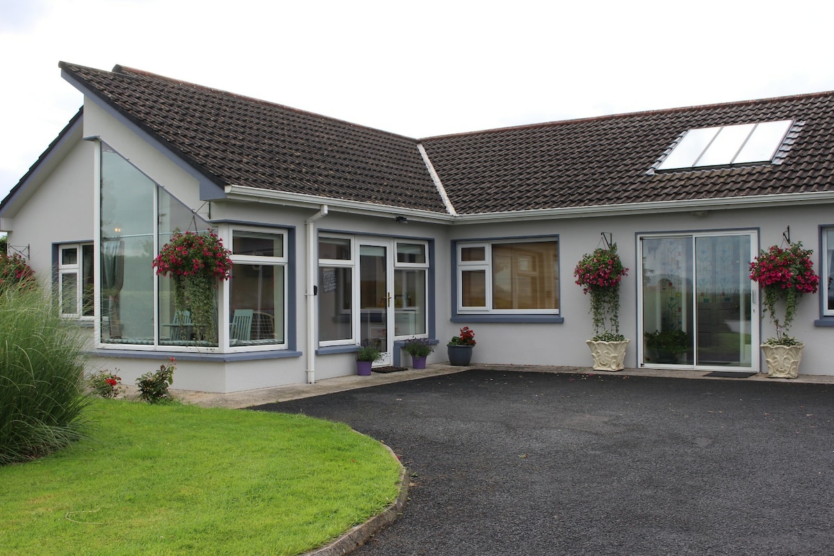 Enclosure in CamasEnclosure · 591 yd
 Moated site in ArranaghMoated site · 1137 yd
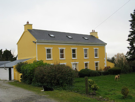 Camas Househouse · 1213 yd
 Dotted outlineBawn · 1.3 mi
 Saint Ite's WellSpring · 1.3 mi
 Killeedy Church (in ruins)Church · 1.3 mi
 Glenquin CastleCastle · 2.1 mi
 Ballagh MountainMountain / peak · 2.5 mi
 TobereenalaffinaSpring · 4.5 mi
 Limerick GreenwayWalking route · 5.0 mi
 Sugar HillMountain / peak · 5.0 mi
 Mullaghareirk - Banane LoopWalking route · 6.2 mi