What is recorded here
Fairy fort / earthen ringfort in Caltragh (tireragh By., Toberpatrick East Ed) is a fairy fort or earthen ringfort in Caltragh (tireragh By., Toberpatrick East Ed), County Sligo, Ireland. It occupies the southwest end of a low, narrow gravel ridge in pasture, forming a raised oval area approximately 34 metres by 28.5 metres. A 1.6-metre scarp defines the perimeter, though no bank or fosse remains. Modern roadway construction destroyed the west and northwest boundary and part of the interior, leaving the northwest quadrant substantially higher than the rest.
Situated at the SW end of a low, narrow gravel ridge in pasture. Raised oval area (dims. c.34m NW-SE; 28.5m NE-SW) defined by a scarp (H 1.6m). No bank or fosse. From WSW-W-NNW the perimeter and part of the interior have been destroyed as a consequence of the construction of a modern NE-SW roadway. Original entrance may have been at E. The NW quadrant of the interior is substantially higher than the remainder.
Compiled by: Patrick F. O'Donovan
Date of upload: 19 January 2011
The monument record does not grant public access. Check the route and ask the landowner before entering private land.
- What survives
- Recorded monument
Places near here
 CastleCastle, ringwork · 1392 yd
 Cross in CarrowgilhoolyCross · 1490 yd
 Giant's GraveArchaeological place · 1534 yd
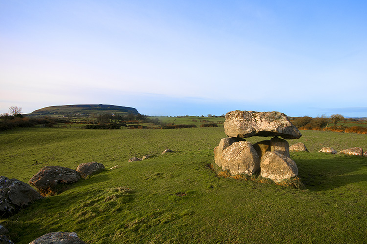 Megalithic structure in CarrowgilhoolyMegalithic structure · 1551 yd
 BawnmoyleRuins · 1.1 mi
 Bawn in CarrowbrickeenBawn · 1.1 mi
 Derk HouseOfficially recorded historic building · 1.2 mi
 Lahanacappul IslandIslet · 1.3 mi
 Ballinlig PointHeadland · 1.4 mi
 Portavaud PointHeadland · 1.4 mi
 Valley WoodForest · 2.0 mi
 European ashEuropean ash · 2.2 mi