What is recorded here
Magic fort in Callowhill. Round earth bank, shallow ditch outside, grass inside. People may have lived there before roads cut across it. The fairies never left. They still own the circle.
Situated in a slight fold on a gently undulating landscape. This is a grass-covered circular area (diam. 31.5m N-S; 31.5m E-W crest to crest; int. diam. 26.3m N-S; 24.6m E-W) defined by an earthen bank (Wth 4-5m; int. H 0.5-1m; ext. H 1-1.3m) and hedge, with an outer fosse (at W: Wth of top 4.3m; Wth of base 1.5m; D 0.6m) WSW-NNW. The entrance (Wth 1.7m) at S is probably modern, and the perimeter is slightly truncated by a road bank at E-SE.
The above description is derived from 'The Archaeological Inventory of County Leitrim' compiled by Michael J. Moore (Dublin: Stationery Office, 2003). In certain instances the entries have been revised and updated in the light of recent research.
Date of upload: 23 September 2008
The monument record does not grant public access. Check the route and ask the landowner before entering private land.
- What survives
- Recorded monument
Places near here
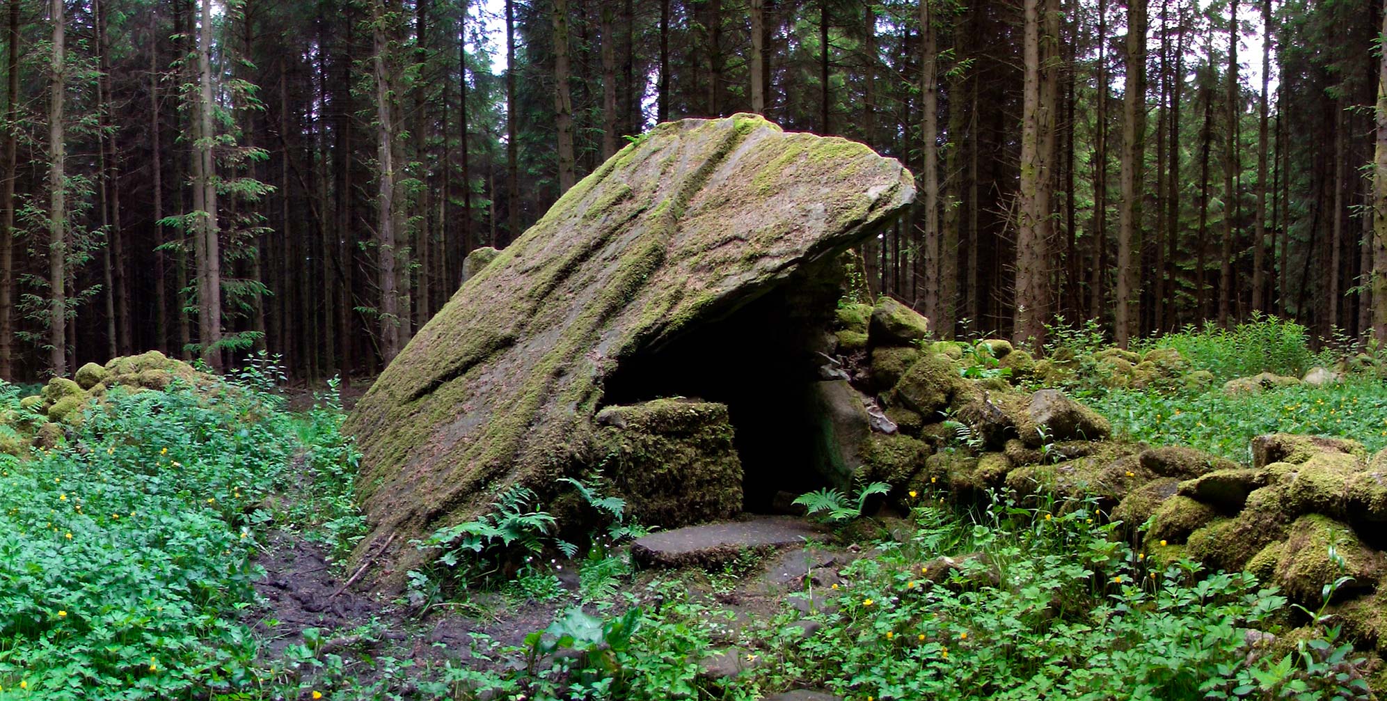 Druid's AltarArchaeological place · 1081 yd
 DrumbadMountain / peak · 1082 yd
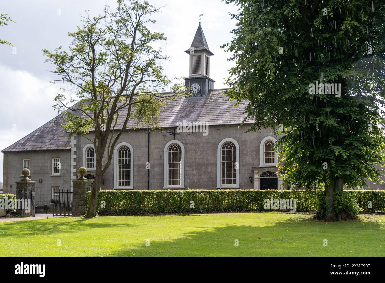 Site of Dernasmallan churchRuins · 1752 yd
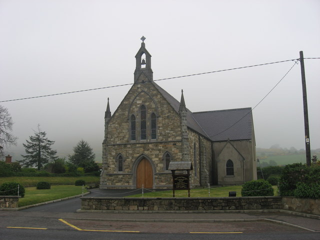 Church in OughteraghChurch · 1.2 mi
 Cromlin Bridge WoodWood · 1.2 mi
 St. Bridgets WellHoly well · 1.4 mi
 Turf IslandIsland · 1.9 mi
 European ashEuropean ash · 1.9 mi
 Crane IslandIslet · 2.1 mi
 DrumgownaghMountain / peak · 2.6 mi
 CastleCastle, tower house · 3.3 mi
 CastleforeCastle, tower house · 3.9 mi