What is recorded here
Fairy fort in Cahirduff, County Limerick, is an oval earthen ringfort standing in open pasture with views in every direction, its shallow ditch and raised edge still marking a small defended or ceremonial place from the ancient Irish past. It may have been a home, a boundary marker, or a gathering spot where people watched the land and kept its secrets. The fairies in its name suggest it belonged to more than one kind of story, human and unseen, living beside one another under the same sky.
In gently undulating pasture with good views in all directions, abuts a townland boundary with Monaster North to the immediate SE. Ringfort (LI031-223----) lies 220m to WNW. Depicted on the 1897 ed. OSi 25-inch map as a suboval-shaped earthwork. Monument surveyed by the ASI in 2007 and described as a raised oval-shaped area (22m E-W; 19m N-S) defined by a scarp (Wth 1.9m; H 1.25m) with fosse (overall Wth 6.8m; basal Wth 1.2m; D 0.25m) and possible remains of an outer bank (Wth 5.2m; int. H 0.2m; ext. H 0.2m) visible at SW with entrance (Wth 4m) at NW. The fosse is visible from SSW-W-N-NNE and has been infilled from NNE-E-S-SW, where later field boundaries enclose the monument. The interior has gentle SSE-facing slope. Monument is visible as a subcircular-shaped earthwork on OSi aerial orthoimage taken 2005-2012, on Digital Globe orthoimage taken 2011-2013 and on Google Earth orthoimage taken 28/06/2018.
See attached Google Earth orthoimage and sketch plans, cross-sections and photographs surveyed, drawn and taken by the ASI.
Compiled by: Alison McQueen and Vera Rahilly
Date of upload: 27 October 2020
The monument record does not grant public access. Check the route and ask the landowner before entering private land.
- What survives
- Recorded monument
Places near here
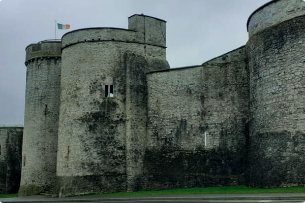 Sheenafinnoge Fort, hachuredBarrow, bowl-barrow · 471 yd
 RIC barracksRIC barracks · 718 yd
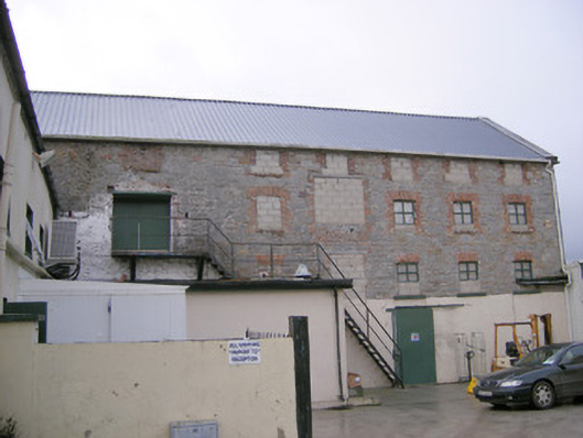 mill (water)mill (water) · 791 yd
 European ashEuropean ash · 1216 yd
 Toberlaghteen Holy WellHoly well · 1225 yd
 Monasteranenagh AbbeyHeritage attraction · 1389 yd
 Bawn in Rathmore NorthBawn · 1.4 mi
 Castle (in ruins)Castle, hall-house · 1.6 mi
 Biodiversity in the Maigue CatchmentVisitor information · 2.1 mi
 Dysert AenghusaHeritage attraction · 3.2 mi
 Villiers WellSpring · 3.2 mi
 Kinnoor WellSpring · 4.9 mi