What is recorded here
Cahernagarry held a subcircular earthen ringfort roughly twenty-seven metres across before field boundaries and forgetting cut through it. The local name admits the human limit: when a place resists explanation, people hand it to fairy rather than leave it empty. What is left is a low curving scarp in gentle Galway grassland, small enough to walk around and old enough to stop arguing with.
In gently undulating grassland. Marked on the 1838 edition of the OS 6-inch map as a subcircular enclosure (c. 27m E-W; c. 25m N-S). On the OS 1:2500 plan (surveyed 1912-16) it is indicated by a curving line of hachures from E to S and by a curving field boundary from S to W. An ENE-WSE running field boundary cut across it from E to WSW and another NNE-SSE running boundary off this one cut it a t SSE. All that survived on inspection in April 1985 was a low scarp curving from E to S.
Compiled by: Galway Archaeological Survey, UCG
Date of upload: 19 July 2019
The monument record does not grant public access. Check the route and ask the landowner before entering private land.
- What survives
- Recorded monument
Places near here
 Enclosure in CahernagarryEnclosure · 121 yd
 LisheenabastyFairy fort / earthen ringfort · 1.0 mi
 Kilboght Convent (in ruins)Religious house, Franciscan Third Order Regular · 1.1 mi
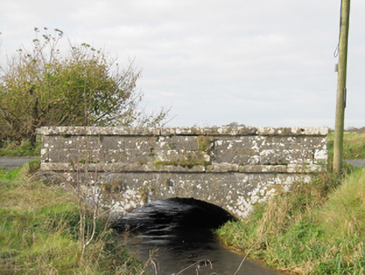 Carra Bridgebridge · 1.4 mi
 Drought Castle (in Ruins)Castle, tower house · 1.5 mi
 Dartfield Horse MuseumHeritage attraction · 1.7 mi
 Turoe StoneHeritage attraction · 2.3 mi
 Galboley Castle (in ruins)Castle, unclassified · 2.5 mi
 Bush IslandIslet · 3.8 mi
 Middle IslandIslet · 3.8 mi
 Long PointHeadland · 4.3 mi
 Battle of AughrimMajor battlefield · 9.1 mi