What is recorded here
Cahermoyle once held a twenty-metre earthen ring on a south-east facing slope, but modern ploughing erased the boundary. The land swallowed the fort while people watched or looked away. What remains is a smooth pasture field where a whole life disappeared beneath the soil.
In pasture, on SE-facing slope. Monument, depicted on 1923 OS 6-inch map as circular enclosure (diam. c. 20m) has been levelled. No trace of monument evident when inspected.
Compiled by: Denis Power
Date of upload: 26 August 2011
The monument record does not grant public access. Check the route and ask the landowner before entering private land.
- What survives
- Recorded monument
Places near here
 IndicatedFairy fort / earthen ringfort · 320 yd
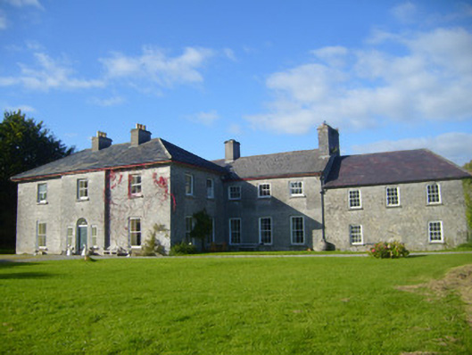 Glenville Housecountry house · 510 yd
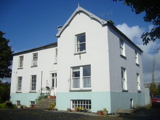 Rathronan Houserectory/glebe/vicarage/curate's house · 755 yd
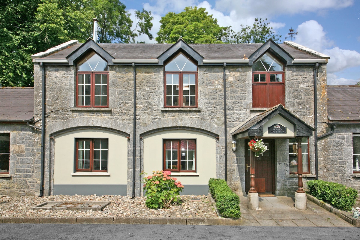 Enclosure in CahermoyleEnclosure · 756 yd
 CahermoyleCastle, unclassified · 769 yd
 St. Luke's WellSpring · 1192 yd
 Castle (in ruins)Castle, tower house · 1.3 mi
 St. Kieran's WellSpring · 2.4 mi
 European ashEuropean ash · 4.6 mi
 Limerick GreenwayWalking route · 4.9 mi
 Sugar HillMountain / peak · 6.6 mi
 Monterey CypressMonterey Cypress · 7.7 mi