What is recorded here
Cahermore is called a fairy fort, but it is an earthen ringfort from before human memory. It stood on a south-east slope where pasture still moves in the wind. A farm building now covers most of the circle, yet the name and shape remain. What was forgotten in soil may still be remembered in breath.
In pasture, on break in SSE-facing slope. Circular enclosure on OS 6-inch map (1842). Farm building on site; small area to SW undisturbed and tree covered but no bank survives.
The above description is derived from the published 'Archaeological Inventory of County Cork. Volume 1: West Cork' (Dublin: Stationery Office, 1992). In certain instances the entries have been revised and updated in the light of recent research.
Date of upload/revision: 14 January 2009
The monument record does not grant public access. Check the route and ask the landowner before entering private land.
- What survives
- Recorded monument
Places near here
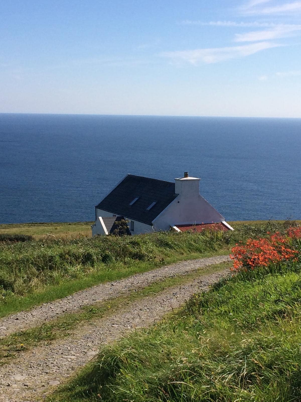 Man-made underground passage in CahermoreMan-made underground passage · 632 yd
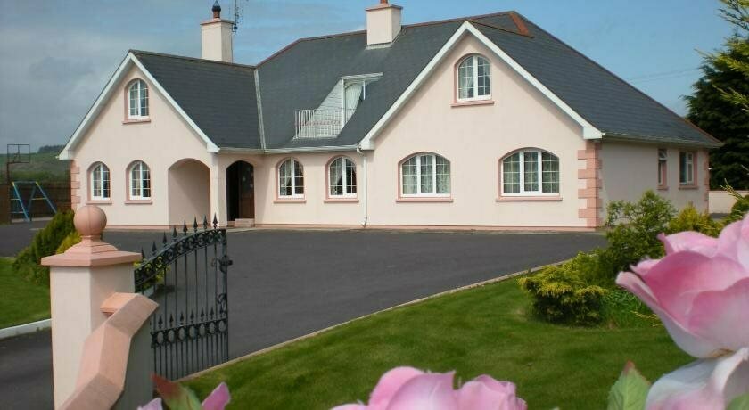 Hut site in FreahanesHut site · 848 yd
 Country house in BenduffCountry house · 1.2 mi
 Castle SalemCastle · 1.2 mi
 Benduff Castlecastle/fortified house · 1.2 mi
 Jeremiah O'Donovan RossaMemorial · 2.0 mi
 Michael Collins BirthplaceHistoric birthplace · 2.3 mi
 Michael Collins MemorialMemorial · 2.5 mi
 The Warren DunesNature reserve · 2.5 mi
 The WarrenBeach / strand · 2.7 mi
 Lookout over MillcoveViewpoint · 2.7 mi
 Ownahincha Strand (West)Beach / strand · 2.8 mi