What is recorded here
Caherlinny holds two shallow rings, seventy metres apart, as if somebody drew a circle on the ground and then drew it again because the first attempt felt wrong. The larger ring is twenty-three metres across, small enough to run around in a minute, yet it has outlasted every wall built after it. Cattle graze beside the mound now, unaware that they keep company with a fortress old enough to make brass obsolete.
In pastureland. Marked on the 1921 edition of the OS 6-inch map as a circular enclosure (diam. c. 23m). All that survives is a low circular mound. Another rath (GA114-040----) lies c. 70m to the SSW.
Compiled by: Galway Archaeological Survey, UCG
Date of upload: 18 February 2019
The monument record does not grant public access. Check the route and ask the landowner before entering private land.
- What survives
- Recorded monument
Places near here
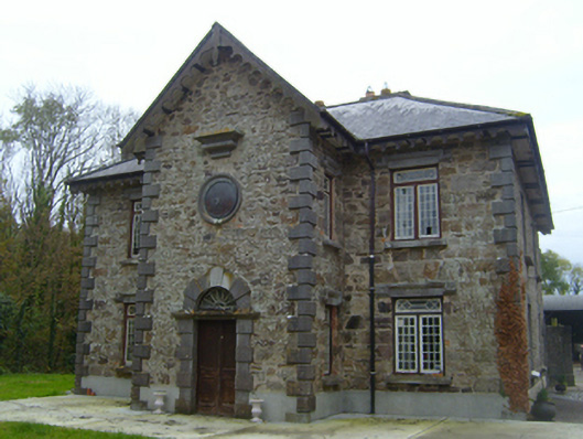 Roxboroughsteward's house · 662 yd
 Man-made underground passage in BallymullenMan-made underground passage · 840 yd
 Bawn in CastleparkBawn · 1319 yd
 Enclosure in CastleparkEnclosure · 1351 yd
 Church in CastleboyChurch · 1494 yd
 Bawn in Deerpark (kilchreest Ed)Bawn · 1.0 mi
 Scalpeen RockNamed rock · 4.3 mi
 KnockapollboyMountain / peak · 4.5 mi
 Ash IslandIslet · 5.1 mi
 Blake's IslandIslet · 5.2 mi
 HawthornHawthorn · 5.3 mi
 European ashEuropean ash · 5.3 mi