What is recorded here
Fairy fort in Caherelly East is a circular earthwork occupying most of a small damp field, with a steep western scarp rising 1.75 metres and a broad external fosse lost under dense rushes. It is the kind of place where human boundaries become porous: a ring large enough to hold life, yet shaped like a threshold between worlds. The land still treats it as exceptional, holding its form in pasture and shadow while waiting for someone to notice what it excludes.
In rough, damp pasture, occupying most of a small field. Roughly circular area (28m N-S; 30m E-W) defined by scarped edge (Wth 6m; H 1.75m) SW-NNW and a more gentle scarp (Wth 1.5m; H 0.3m) NNW-SW. Wide, flat-bottomed external fosse (basal Wth 8m; total Wth 15.75m; D 0.4m) SW-NNW. Fosse area and rest of exterior covered in dense growth of rushes. Interior built up by high scarp on W-side and slopes downward sharply to E. Field boundary flanks monument to S and E.
Compiled by: Denis Power
Date of upload: 12 November 2013
The monument record does not grant public access. Check the route and ask the landowner before entering private land.
- What survives
- Recorded monument
Places near here
 Black Castle (Site of)Castle, unclassified · 578 yd
 Mound in Caherelly EastMound · 702 yd
 Caherelly Church (in ruins)Church · 1092 yd
 Caherelly Cottagehouse · 1103 yd
 BarrowBarrow, unclassified · 1462 yd
 Ballybricken Court (in ruins)Castle, tower house · 1.2 mi
 The SpectaclesVisitor information · 2.4 mi
 St. Patrick's WellSpring · 4.3 mi
 Kilteely HillMountain / peak · 4.4 mi
 Flat cemetery in Knockainy WestFlat cemetery · 5.7 mi
 St Patrick's WellSpring · 9.2 mi
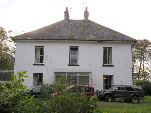 Caherelly Castlecountry house · 1365 yd