What is recorded here
Forty feet of packed earth rise above a shallow ditch on a low ridge in Caherea, large enough for a family farm but small enough to hide inside ordinary pasture. Cattle walk past the bank today, unaware that they graze the edge of a fort old enough to predate every written name in the county. The ditch may still hold rainwater at one side, keeping the place half-drowned and half-visible, as if it refuses to be fully known.
On a low NE-SW ridge in pasture. A subcircular area (diam. c. 38m) defined by a bank and a fosse, possibly water-filled at SE, visible on Google Earth (4 February 2018). Not indicated on any OS maps. Cultivation ridges in the interior are visible in the interior.
The following image has been uploaded:
CL041-186----_01.jpg Google Earth image, 2018.
Compiled by: Mary Tunney
Date of upload: 10 May 2021
A fairy fort / earthen ringfort in Caherea is a subcircular early-medieval ringfort, likely dating to between the 5th and 10th centuries, characterized by a bank and fosse. Local folklore associates such sites with the faé, and they were often considered places of magical or supernatural significance in Irish tradition.
The monument record does not grant public access. Check the route and ask the landowner before entering private land.
- What survives
- Recorded monument
Places near here
 Ladys WellHoly well · 577 yd
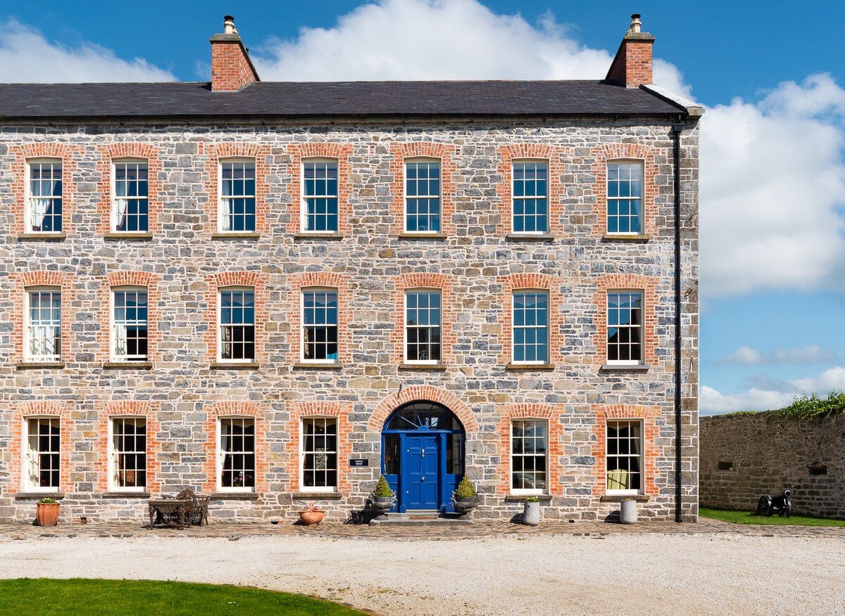 Enclosure in Killerk WestEnclosure · 1.1 mi
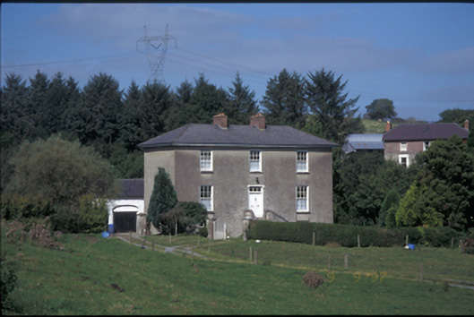 Glebe Houserectory/glebe/vicarage/curate's house · 1.9 mi
 Church (in Ruins)Church · 1.9 mi
 Cragbrien Castle (Site of)Castle, unclassified · 2.2 mi
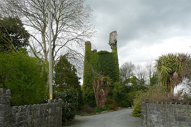 Dangan Castle (in Ruins)Castle, tower house · 3.1 mi
 Gull RockNamed rock · 3.9 mi
 Killone AbbeyHeritage attraction · 4.4 mi
 Abbey WoodForest · 4.5 mi
 Alice and Gwendoline CaveMuseum · 4.8 mi
 Rockmount WoodWood · 4.9 mi
 Poul na gollorCave · 4.9 mi