What is recorded here
Cahercrea East holds a faded ringfort where a low bank still curves through undulating pastureland. Trees have swallowed much of the structure, hiding the human hands that shaped the earth into a boundary. The missing southeast section suggests the land itself rejected the claim, taking back what people tried to own.
In undulating pastureland. Poorly preserved subcircular rath (c. 60m N-S; c. 50m E-W) defined by a low bank which is overgrown with trees. No visible surface trace of the enclosing element survives at from SE to SW.
Compiled by: Galway Archaeological Survey, UCG
Date of upload: 11 January 2017
The monument record does not grant public access. Check the route and ask the landowner before entering private land.
- What survives
- Recorded monument
Places near here
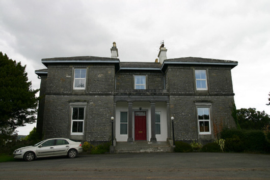 Coorheen Housecountry house · 736 yd
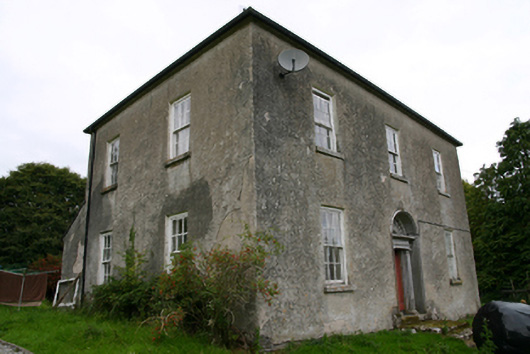 Glenvillecountry house · 969 yd
 Ash IslandIslet · 1123 yd
 Enclosure in Grange (loughrea By.)Enclosure · 1670 yd
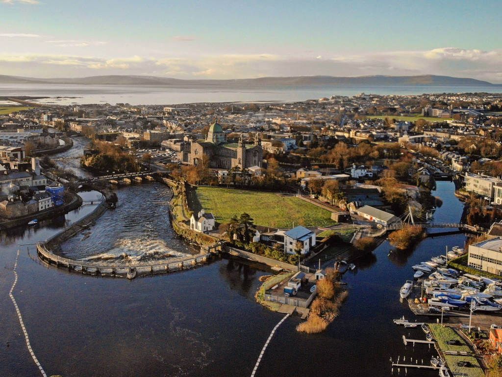 IndicatedFairy fort / stone ringfort · 1727 yd
 Blake's IslandIslet · 1.0 mi
 Site of CastleCastle, unclassified · 1.2 mi
 Long PointHeadland · 1.5 mi
 CastleCastle, tower house · 1.7 mi
 Scalpeen RockNamed rock · 4.1 mi
 Turoe StoneHeritage attraction · 5.2 mi
 Dartfield Horse MuseumHeritage attraction · 5.8 mi