What is recorded here
Caherbeg holds a broken double-ringed fort on a sunny slope, its stone-faced banks still marking a causewayed entrance and possibly hidden passage. People may have lived, farmed or fled there before memory faded, while local stories rename the same stones as a fairy fort. The gap in the western bank does not read as failure; it reads as an invitation into the unknown.
In pasture, on S-facing slope. Circular area (40.3m N-S; 43.5m E-W) enclosed by two earth and stone banks with intervening fosse. Shallow outer fosse (D 0.3m) to NW and NE. Inner bank (H 1.6m) and outer bank (H 1.2m) stone faced in parts. Breaks in outer bank to W and SE. Causewayed entrance to E. Interior crossed by cultivation ridges on E-W axis; possible Man-made underground passage (CO134-051002-) in W half.
The above description is derived from the published 'Archaeological Inventory of County Cork. Volume 1: West Cork' (Dublin: Stationery Office, 1992). In certain instances the entries have been revised and updated in the light of recent research.
Date of upload/revision: 14 January 2009
The monument record does not grant public access. Check the route and ask the landowner before entering private land.
- What survives
- Recorded monument
Places near here
 Man-made underground passage in CaherbegMan-made underground passage · 15 yd
 TurretRuins · 1078 yd
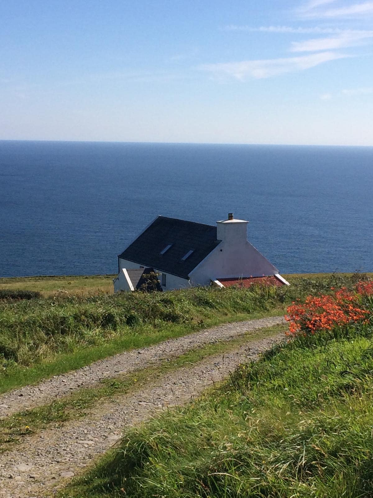 Man-made underground passage in CahermoreMan-made underground passage · 1147 yd
 church/chapelchurch/chapel · 1.2 mi
 Michael Collins BirthplaceHistoric birthplace · 1.7 mi
 Castle SalemCastle · 1.8 mi
 Michael Collins MemorialMemorial · 1.9 mi
 Jeremiah O'Donovan RossaMemorial · 2.1 mi
 The Warren DunesNature reserve · 2.8 mi
 Castle Freke WoodsForest · 2.9 mi
 Ownahincha Strand (West)Beach / strand · 3.0 mi
 The WarrenBeach / strand · 3.0 mi