What is recorded here
Caheravoostia holds a broad earthen ring in wet pasture, marking a place where people once drew a clear line around their lives. The soil bank has flattened in parts, yet the round shape still emerges through grass and rain. At the centre sits a deep circular depression, perhaps a well, perhaps a door downward, while a large boulder guards the southwest edge like a forgotten sentinel. The fort does not need a tall wall to feel complete. It uses damp earth, shadow and memory to keep its shape.
In rough, wettish pasture. Circular area (38m N-S; 40m E-W), enclosed by low earthen bank (H 0.7m), partly levelled in N. Circular depression (Wth 2.5m) in centre of interior, with possible Man-made underground passage (MA118-051001-) directly to N. Large boulder on SW of bank.
The above description has been derived from D. Lavelle (compiler), An Archaeological Survey of Ballinrobe and District including Lough Mask and Lough Carra. Lough Mask and Lough Carra Tourist Development Association (1994), No. 119.
Date of upload: 21 November 2013
The monument record does not grant public access. Check the route and ask the landowner before entering private land.
- What survives
- Recorded monument
Places near here
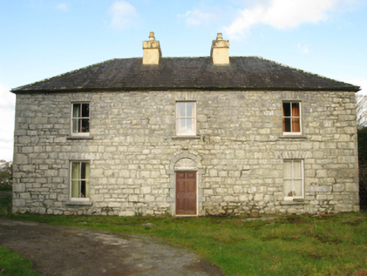 Carranvilla Housefarm house · 426 yd
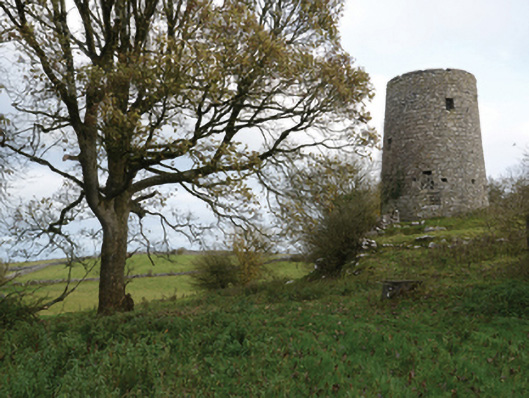 Highwood Millmill (wind) · 1349 yd
 IndicatedFairy fort / stone ringfort · 1494 yd
 Bunacrower CastleCastle · 1.0 mi
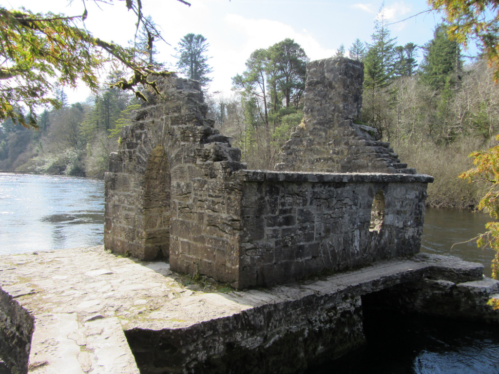 Enclosure in Kilquire LowerEnclosure · 1.0 mi
 Bawn in Kilquire LowerBawn · 1.2 mi
 SycamoreSycamore · 3.0 mi
 European YewEuropean Yew · 3.7 mi
 Cow IslandIslet · 6.4 mi
 Gibbs IslandsIslet · 8.1 mi
 School of FalconryHeritage attraction · 9.2 mi
 Ross Errilly FriaryHeritage attraction · 9.4 mi