What is recorded here
Caheraderry holds a low oval ringfort where a thin earthen bank still circles a dished interior covered in rushes. The fort sits on a south-facing pasture slope near a stream, small enough to walk across in a minute yet old enough to appear on maps from 1840. Local people may have called it a fairy fort because such places seem to belong less to human ownership than to memory, mischief and forgotten time.
In pasture on S-facing slope near the top of a rise overlooked by higher ground to the N and NW c. 35m S of a stream. Hachured on the 1840 and 1916 OS 6-inch maps. The later map depicts a bivallate enclosure. An oval enclosure (int. 24.5m N-S; 29m E-W) defined by a low earthen bank (H 0.15m; Wth 2.5-3m). A possible entrance exists at the SE. The interior is dished and covered in rushes.
Compiled by: Mary Tunney and Eve Campbell
Date of upload: 14 August 2023
A fairy fort / earthen ringfort in Caheraderry is an early-medieval ringfort, likely dating to between the 5th and 10th centuries, characterized by its oval shape and double ditches as shown on historic maps. Local folklore associates such sites with the faerie folk, and they were often avoided due to beliefs in their supernatural inhabitants.
The monument record does not grant public access. Check the route and ask the landowner before entering private land.
- What survives
- Recorded monument
Places near here
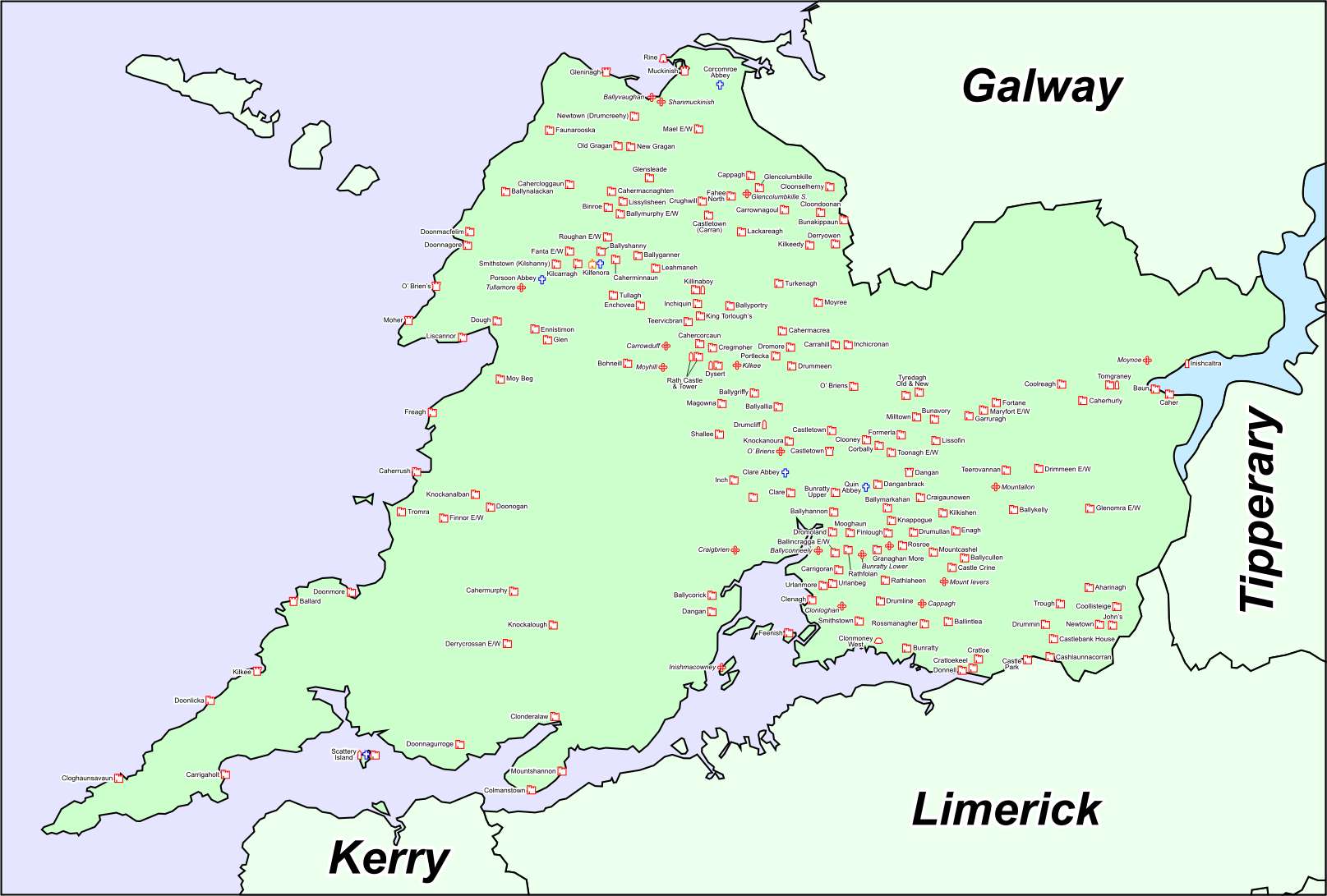 IndicatedFairy fort / stone ringfort · 775 yd
 Enclosure in CaheraderryEnclosure · 923 yd
 Site of Tullamore CastleCastle, unclassified · 1241 yd
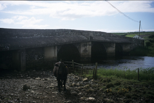 New Bridgebridge · 1661 yd
 Church in KillaspuglonaneChurch · 1748 yd
 Dough CastleRuins · 1.7 mi
 Kilmanahn GraveyardRuins · 1.9 mi
 Famine MemorialMemorial · 2.2 mi
 Lahinch BeachBeach / strand · 2.4 mi
 John P. Holland CentreMuseum · 3.3 mi
 Doolin Cliff WalkWalking route · 3.5 mi
 Fisherstreet PotCave · 3.7 mi