What is recorded here
Fairy fort in Cabragh, County Cork: a roughly circular rath, 25m wide, bounded by a 2m earthen bank with a stone-faced inner edge and a 3.4m entrance to the northeast. Inside the western bank sits a smaller circular hut foundation, 13m across, its low stone wall still visible toward the south and northwest. The ridge crest, rock outcrop and broken grazing land make the place feel less like a ruin and more like a threshold, as if people once shaped the edge of the world into a room.
On crest of ridge, in rough grazing land broken by rock outcrop. Roughly circular area (25m E-W; 24m N-S) enclosed by earthen bank (max. H 2m), stone-faced internally ENE->SSW. Entrance (Wth 3.4m) to NE; break in bank to SE. Interior slopes gently down to E. Circular foundation of hut site (13m E-W; 11m N-S) inside W bank; low stone wall survives S->NW, collapsed wall elsewhere.
The above description is derived from the published 'Archaeological Inventory of County Cork. Volume 3: Mid Cork' (Dublin: Stationery Office, 1997). In certain instances the entries have been revised and updated in the light of recent research.
Date of upload/revision: 14 January 2009
The monument record does not grant public access. Check the route and ask the landowner before entering private land.
- What survives
- Recorded monument
Places near here
 Fulacht fia in CabraghFulacht fia · 479 yd
 Fulacht fia in CarrigonirtaneFulacht fia · 525 yd
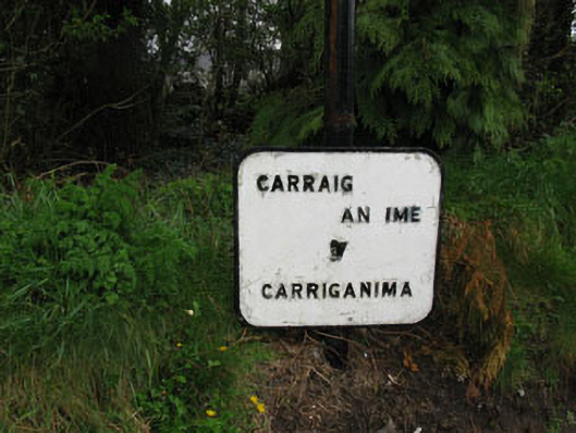 sign postsign post · 1.1 mi
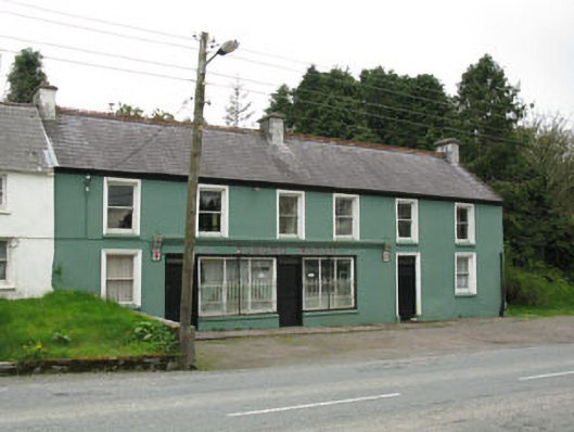 Edmond Walshhouse · 1.2 mi
 Cnoc na nUlán (mullach thoir)Mountain / peak · 2.4 mi
 Mullaghanish Far North-East TopMountain / peak · 3.3 mi
 Carrigaphooca CastleCastle · 3.9 mi
 Neill's WoodWood · 4.0 mi
 Paddy Mulcahey 2009Memorial · 4.3 mi
 Clonavrick CliffCliff · 4.4 mi
 Standing Stone ? At J WellMemorial · 4.4 mi
 Curraheen WoodWood · 4.5 mi