What is recorded here
Forty-eight metres of internal diameter remain beneath a substantial earthen bank in Cabra, though a field boundary has cut through the site and levelled part of the east. The original entrance has vanished, leaving only a broad oval scar marked Fort on old maps. People may have lived inside that circle before ploughs and property lines erased the doorway, but the bank still holds its shape against the sky.
Marked 'Fort' on OS 1836 and 1876 eds. and depicted as a large oval enclosure. Raised circular area (int. diam. c. 48m) enclosed by a substantial earthen bank and traces of a fosse. The site is bisected by a field boundary running NNE-SSW, the area ESE of which has been levelled. Original entrance not recognisable.
The above description is derived from the published 'Archaeological Inventory of County Cavan' (Dublin: Stationery Office, 1995). In certain instances the entries have been revised and updated in the light of recent research.
Date of upload/revision: 22 December 2008
A fairy fort or earthen ringfort in Cabra is a likely early-medieval defensive or habitation site, indicated by its substantial earthen bank and fosse. Local tradition associates such sites with fairy lore, and the fort's bisecting field boundary may reflect longstanding territorial divisions.
The monument record does not grant public access. Check the route and ask the landowner before entering private land.
- What survives
- Recorded monument
Places near here
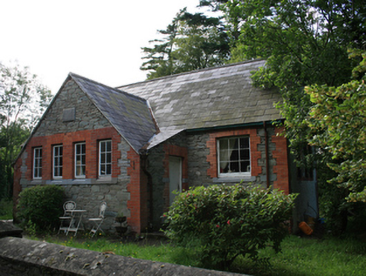 schoolschool · 482 yd
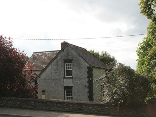 school master's houseschool master's house · 507 yd
 CabraMountain / peak · 559 yd
 Dún a Rí Forest ParkForest · 863 yd
 Ice HouseArchaeological place · 1084 yd
 In Memory of Our DadMemorial · 1084 yd
 Castle ruinsCastle, unclassified · 1158 yd
 Natural Play AreaMemorial · 1165 yd
 Horse-chestnutHorse-chestnut · 1341 yd
 ToberarneyHoly well · 1.2 mi
 BarleyhillMountain / peak · 1.4 mi
 Castle in ruinsCastle, unclassified · 2.7 mi