What is recorded here
Fairy fort in Butlerstown, County Meath: a 36m grass ring on an east-facing rise, with a steep scarp and two possible ramp entrances. People may have lived there, excluded others, or left the circle empty on purpose. The measurements are clear; the life inside is no longer visible.
Situated on a rise which is on an E-facing slope. This is a circular grass-covered area (diam. 36m NE-SW; 33.5m NW-SE) defined by a scarp (at ENE: Wth 6m; H 2.5m; at WSW: Wth 3m; H 1.8m) with slight traces of the inner edge of a bank (at NW: Wth of base 5.7m; int. H 0.2m; ext. H 2.9m) SW-NW. There are possible ramp-like entrances at NW (Wth 1.8m) and ESE (Wth 1.2m), but there is no visible fosse and there is some scrub on the scarp.
The above description is derived from the published 'Archaeological Inventory of County Meath' (Dublin: Stationery Office, 1987). In certain instances the entries have been revised and updated in the light of recent research.
Compiled by: Michael Moore
Date of upload: 10 July 2007
Amended: 2 August 2022
The monument record does not grant public access. Check the route and ask the landowner before entering private land.
- What survives
- Recorded monument
Places near here
 HeadstownMountain / peak · 465 yd
 Headstown ForestForest · 523 yd
 Enclosure in HeadstownEnclosure · 856 yd
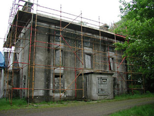 Stephenstown Housecountry house · 1.0 mi
 Ugly HillMountain / peak · 1.1 mi
 Castletown FortCastle, motte and bailey · 1.1 mi
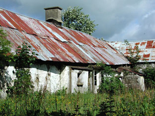 farm housefarm house · 1.1 mi
 Nobber GreenwayMemorial · 1.6 mi
 Common LimeCommon Lime · 1.8 mi
 MoatCastle, motte and bailey · 1.8 mi
 Owenroe and Moynalty DrainageMemorial · 3.2 mi