What is recorded here
Busherstown lost its fairy fort to bulldozers in the early 1980s, erasing the irregular earthen enclosure marked on the 1911 OS map. The site joined the Register of Historic Monuments on 22 December 1982, yet no surface trace remains for anyone to walk or touch. What is left is a line on old paper and a warning about how quickly memory can be stripped from the land.
No surface trace visible according to local information site was bulldozed in the early 1980's. Depicted as an irregular shaped enclosure on 1911 edition of the OS 6-inch map.
Monument placed on the Register of Historic Monuments on the 22 December 1982.
The above description is derived from the published 'Archaeological Inventory of County Offaly' (Dublin: Stationery Office, 1997). In certain instances the entries have been revised and updated in the light of recent research.
Date of upload: 23 May 2011
The monument record does not grant public access. Check the route and ask the landowner before entering private land.
- What survives
- Recorded monument
Places near here
 KilnKiln, corn-drying · 548 yd
 Field boundary in DrumroeField boundary · 811 yd
 Enclosure in BusherstownEnclosure · 1105 yd
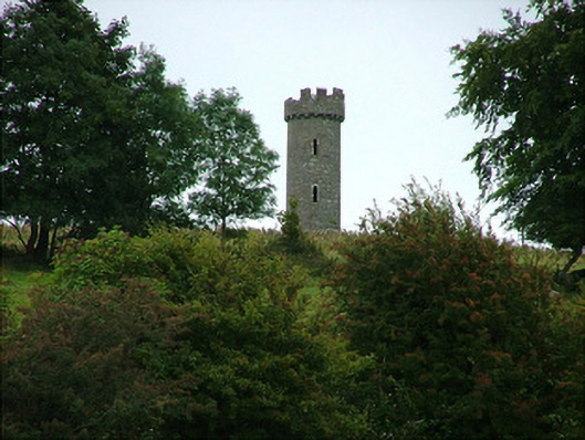 Busherstown Towerfolly · 1177 yd
 MoatCastle, motte · 1695 yd
 BenduffMountain / peak · 1.4 mi
 The MoatCastle, motte · 1.9 mi
 Borrisnoe MountainMountain / peak · 2.8 mi
 Longford WoodForest · 2.9 mi
 Kyleroe WoodWood · 3.6 mi
 Thomas MacDonagh Heritage CentreMuseum · 6.1 mi
 MacDonagh HouseMemorial · 6.1 mi