What is recorded here
No visible fortification exists at Bunkilla today. What is recorded is a hidden or lost earthwork, not a standing wall. The place still belongs to human memory because people lived there, marked it, and left it behind. Forgetting does not erase that life; it only stops the conversation.
In tillage, on NE-facing slope. Circular area (diam. 44m) defined by two earthen banks (inner bank: int. H 1m; outer bank: H 0.6m) with intervening fosse. Outer bank levelled to S. Ground immediately outside enclosure to NE waterlogged.
The above description is derived from the published 'Archaeological Inventory of County Cork. Volume 3: Mid Cork' (Dublin: Stationery Office, 1997). In certain instances the entries have been revised and updated in the light of recent research.
Date of upload/revision: 14 January 2009
The monument record does not grant public access. Check the route and ask the landowner before entering private land.
- What survives
- Recorded monument
Places near here
 Fulacht FiadhFulacht fia · 359 yd
 BarrowBarrow, ring-barrow · 764 yd
 Ballyvodane BrBridge · 880 yd
 Ballyvodane Castle (in Ruins)Castle, unclassified · 1232 yd
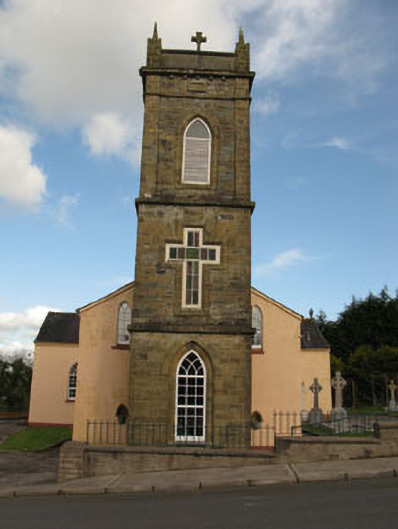 St Joesph's Roman Catholic Churchchurch/chapel · 1456 yd
 New TipperaryVisitor information · 2.3 mi
 Ballyanly Inniscarra Slí na SláinteWalking route · 3.5 mi
 Saint Bartholomew's WellSpring · 3.7 mi
 Oldcastle WoodWood · 4.0 mi
 Carrignamuck Tower HouseCastle · 4.2 mi
 Lyradane MountainMountain / peak · 4.2 mi
 Pairc Ath Na hEornaMemorial · 4.6 mi