What is recorded here
Fairy fort in Bunkilla, County Cork: a circular earthen ringfort about 45 metres across, with one rampart, an outer ditch and possibly a second bank to the north, its entrance facing northeast. It stood in pasture, drawn on maps in 1842, 1903 and 1938, but has since been levelled and buried under dumped earth. What remains is a absent shape: a ring imagined through soil, memory and the names people gave it before forgetting.
In pasture. Depicted as hachured circular enclosure (diam. c. 40m) on 1842, 1903 and 1938 OS 6-inch maps. Levelled; mounds of material dumped on area of site. According to Hartnett (1939, 180), single rampart and outer fosse remained with 'indications of an outer bank at the north'; diameter 145ft; entrance to NE.
The above description is derived from the published 'Archaeological Inventory of County Cork. Volume 3: Mid Cork' (Dublin: Stationery Office, 1997). In certain instances the entries have been revised and updated in the light of recent research.
Date of upload/revision: 14 January 2009
The monument record does not grant public access. Check the route and ask the landowner before entering private land.
- What survives
- Recorded monument
Places near here
 Fulacht FiadhFulacht fia · 612 yd
 Man-made underground passage (Site of)Man-made underground passage · 737 yd
 Ballyvodane BrBridge · 1419 yd
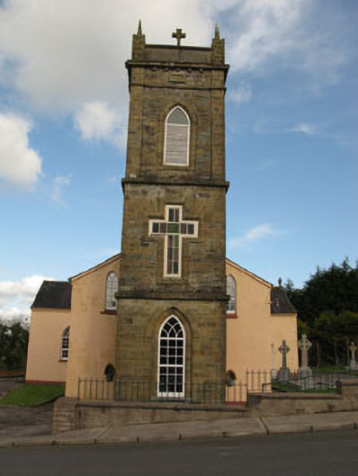 St Joesph's Roman Catholic Churchchurch/chapel · 1627 yd
 Ballyvodane Castle (in Ruins)Castle, unclassified · 1759 yd
 New TipperaryVisitor information · 2.2 mi
 Ballyanly Inniscarra Slí na SláinteWalking route · 3.3 mi
 Saint Bartholomew's WellSpring · 3.5 mi
 Oldcastle WoodWood · 3.7 mi
 Carrignamuck Tower HouseCastle · 3.9 mi
 Lyradane MountainMountain / peak · 4.5 mi
 Bob AdamsMemorial · 4.7 mi