What is recorded here
Thirty-four metres of packed earth and shadowed ditch circle Buncurrig, forcing every resident into a narrow ring where the sky remains visible through the centre. The bank stands nearly two metres above the surrounding ditch, creating a small cliff that blocks ordinary entry and suggests the fort was built to exclude as much as to protect. People may have watched weather, herds or invaders from that elevated edge, while the fairies kept the excluded space their own.
Internal diameter 33m N-S, 34m E-W
This univallate rath is situated in low-lying land which rises slightly to the NW. A fieldbank runs immediately outside the N side of the site in an E-W direction. The view from this site is extensive in all directions. The site consists of a circular area enclosed by a well-defined earthen bank and exterior fosse. The enclosing bank on average is 7m in width at the base; it has a steep exterior side which rises to a maximum height of 1.8m above the fosse and .6m above the interior. The fosse is U shaped and well-defined especially to the N through W. It is from 1.6m-2.8m wide and on average .75m deep. The interior is at a higher level than the surrounding land.
The above description is derived from C. Toal, ‘North Kerry Archaeological Survey’. Dingle. Brandon in association with FAS Training and Employment Authority (1995), no. 464. In certain instances the entries have been revised and updated in the light of recent research.
Date of upload: 2 August 2013
The monument record does not grant public access. Check the route and ask the landowner before entering private land.
- What survives
- Recorded monument
Places near here
 Our Lady's Holy WellSpring · 673 yd
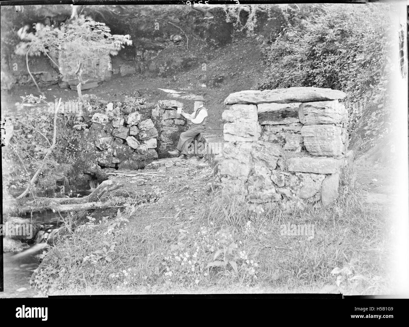 Holy WellHoly well · 677 yd
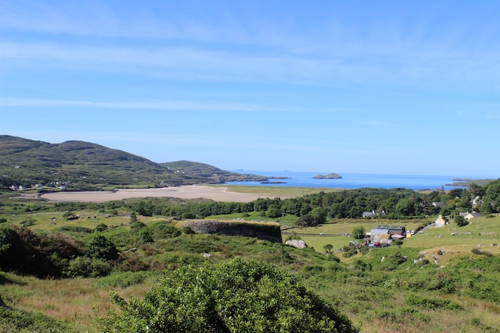 PurtaheenHoly well · 1382 yd
 Ballyheige Castlecountry house · 1530 yd
 Saint Mary's Catholic Churchchurch/chapel · 1601 yd
 CastleCastle, unclassified · 1.8 mi
 Castle (in ruins)Castle, unclassified · 2.5 mi
 Maulin MountainMountain / peak · 2.9 mi
 Triskbeg MountainMountain / peak · 3.3 mi
 Banna StrandBeach / strand · 4.0 mi
 Inshaboy PointHeadland · 4.1 mi
 Ardfert CathedralHeritage attraction · 4.4 mi