What is recorded here
In pasture, on summit of Bruff Hill (312ft/95m) which lies 115m S of a townland boundary with Ballydaheen. Not depicted on OSi historic maps. Referred to in the Ordnance Survey Field Name Books (OSNB Bruff Parish, 346) as: ‘In the NE is another (fort) in which is a Trigl. [trigonometrical] Station called Bruffhill’. Upstanding monument is visible as an oval-shaped earthwork (dims. c. 46m E-W; 39m N-S) on OSi orthoimages taken 2005-2012, on Digital Globe orthoimages taken 2011-2013 and on Google Earth orthoimage taken 25/03/2017.
See attached Google Earth orthoimage
Compiled by: Alison McQueen and Vera Rahilly
Date of upload: 8 November 2020
The monument record does not grant public access. Check the route and ask the landowner before entering private land.
- What survives
- Recorded monument
Places near here
 Settlement cluster in BruffSettlement cluster · 72 yd
 Burial in BruffBurial · 506 yd
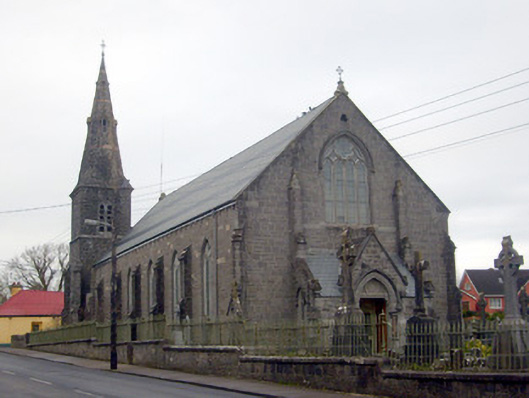 Catholic Church of Saint Peter and Saint Paulchurch/chapel · 852 yd
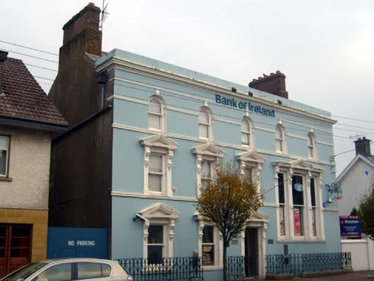 Bank of Irelandbank/financial institution · 890 yd
 Castle (in ruins)Castle, unclassified · 1181 yd
 Ballygrennan Castle (in ruins)Castle, tower house · 1723 yd
 Glen BogForest · 1.5 mi
 KnockainyMountain / peak · 2.5 mi
 Flat cemetery in Knockainy WestFlat cemetery · 3.4 mi
 St Patrick's WellSpring · 6.5 mi
 Edmund's WellSpring · 7.1 mi
 Ballinvreena LoopVisitor information · 7.4 mi