What is recorded here
In generally level pasture. Circular area (dims. 35m N-S; 36m E-W) defined by earthen bank (Wth 6.2m; int. H 1.3m; ext. H 1.85m) covered in whitethorn. Base of bank exterior eroded by water in surrounding fosse (Wth 5.5m; D 0.5m). Hedge row field boundary crosses fosse at NNW and at N and bank is incorporated into same NNW-N. Drain (long-axis NW-SE) flows from fosse at SSE. Interior slopes down gently to E and is under pasture. Causewayed entrance (Wth 4m) at ENE has been widened to accommodate vehicular access. According to Cahill (1982) a Man-made underground passage was reported at this ringfort but was unlocated. Ringfort visible on aerial photograph (CUCAP AVS 53, 20.7.1968).
Compiled by: Jean Farrelly
Date of upload: 26 August 2011
The monument record does not grant public access. Check the route and ask the landowner before entering private land.
- What survives
- Recorded monument
Places near here
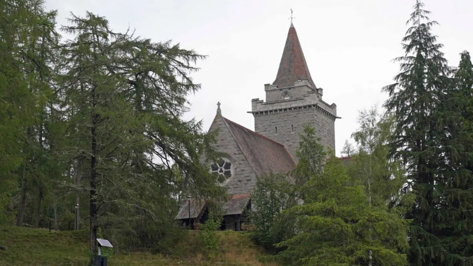 Redcity Church (in ruins)Church · 540 yd
 Barrettstown CastleCastle · 871 yd
 Settlement desertedSettlement deserted, medieval · 976 yd
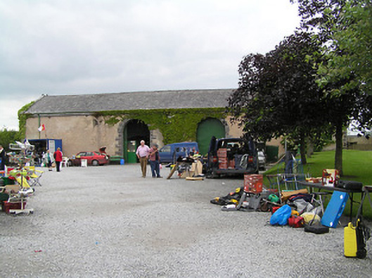 Fethard Folk Farm and Transport Museumstore/warehouse · 1197 yd
 Enclosure in FethardEnclosure · 1546 yd
 European YewEuropean Yew · 1.1 mi
 Edmond's CastleCastle · 1.1 mi
 East GateMemorial · 1.2 mi
 Kilknockan HillMountain / peak · 1.7 mi
 Grove WoodForest · 1.9 mi
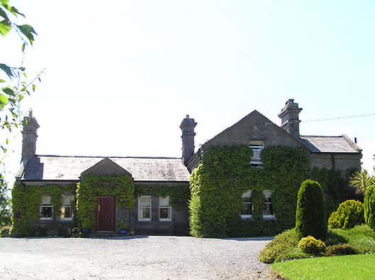 Rockspringrailway station · 1270 yd
 Madam's Bridgebridge · 1609 yd