What is recorded here
Fairy fort / earthen ringfort in Brittas (moyashel & Magheradernon By.) is a fairy fort or earthen ringfort in Brittas (moyashel & Magheradernon By.), County Westmeath, Ireland. The 1970 survey described a roughly circular area 37 metres in diameter enclosed by a bank and a fosse, with the bank best preserved from north through east to south through west and steepened on the exterior from west through north. A 5.1 metre wide entrance gap sits at the southeast, featuring a causeway, while a modern gap exists at the north where a fence intersects the perimeter.
Situated on a rise, in gently undulating pasture with good views in all directions. Ringfort (WM019-015----) lies c. 75m to N. Depicted on the 1837 ed. OS 6-inch map as an oval-shaped earthwork. Depicted on the revised 1913 ed. OS 25-inch map as a slightly modified oval-shaped earthwork.
Monument described in 1970 as a roughly circular-shaped area (diam. 37m) enclosed by a bank and a fosse. The bank is best preserved from N-E-S-W and has been steepened on the exterior from W-N, where a modern bank has been constructed at its upper edge. The fosse is best preserved from N-E-S-W and may have been recut in relatively modern times. The entrance gap (Wth at top 5.1m; basal Wth 2m) is at SE, where there is a slight causeway (Wth at top 2.5m; overall Wth 4.6m; max. H 0.3m). There is a modern gap at N. The interior rises slightly from the perimeter towards the centre and has traces of cultivation ridges running NNE-SSW. A modern fence intersects the perimeter at N, S and WNW. Monument is visible today as a circular-shaped tree-lined earthwork on Digital Globe aerial photography.
Compiled by: Alison McQueen, Vera Rahilly and Caimin O’Brien
Date of upload: 18 February 2019
The monument record does not grant public access. Check the route and ask the landowner before entering private land.
- What survives
- Recorded monument
Places near here
 IndicatedFairy fort / earthen ringfort · 128 yd
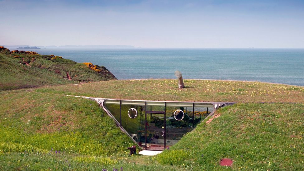 Enclosure in Loughagar MoreEnclosure · 996 yd
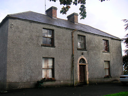 Newgrove Housefarm house · 1.1 mi
 Site of CastleCastle, unclassified · 1.3 mi
 Church (in Ruins)Church · 1.4 mi
 Long PlantingForest · 1.9 mi
 CastleCastle, unclassified · 2.5 mi
 Saint Brigid's WellSpring · 2.9 mi
 United Nations War MemorialMemorial · 3.2 mi
 Scragh Bog Nature ReserveNature reserve · 3.3 mi
 The Chimera GalleryGallery · 3.5 mi
 Famine MemorialMemorial · 3.5 mi