What is recorded here
Mortons and others may have built the circular earthworks at Brittas, yet fairy fort remains the local name. The earth has not disappeared. It has changed shape, grown trees, and waited for people to stop measuring it.
Situated on the summit of a hillock in an undulating landscape. This is a raised circular and grass-covered area (diam. 35m NW-SE; 34.5m NE-SW) defined by an earthen bank (at NW: Wth of base 5.5m; int. H 0.3m; ext. H 1.5m) largely reduced to a scarp (at SE: Wth 6m; H 2. 5m) with intermittently visible outer facing stones. The bank and the interior support mature deciduous trees and there is no visible entrance but there is an outer fosse (Wth of base 2.2m; ext. D 0.4m) S-NW.
The above description is derived from the published 'Archaeological Inventory of County Meath' (Dublin: Stationery Office, 1987). In certain instances the entries have been revised and updated in the light of recent research.
Compiled by: Michael Moore
Date of revision: 5 September 2018
The monument record does not grant public access. Check the route and ask the landowner before entering private land.
- What survives
- Recorded monument
Places near here
 Common LimeCommon Lime · 293 yd
 LIssanardFairy fort / earthen ringfort · 325 yd
 LisnacrossFairy fort / earthen ringfort · 343 yd
 Cherburg WoodForest · 567 yd
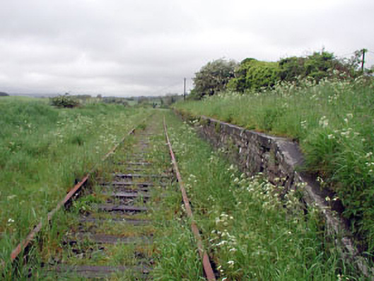 Nobber Railway Stationplatform · 1240 yd
 Nobber GreenwayMemorial · 1258 yd
 Nobber Bridgebridge · 1259 yd
 MoatCastle, motte and bailey · 1272 yd
 Gallows HillMountain / peak · 1613 yd
 HeadstownMountain / peak · 1.9 mi
 Bawn in Robertstown (kells Lower By.)Bawn · 2.0 mi
 Owenroe and Moynalty DrainageMemorial · 2.8 mi