What is recorded here
Fairy fort / earthen ringfort in Brickendown is a fairy fort or earthen ringfort in Brickendown, County Tipperary, Ireland. The circular area measures 32 metres across and contains a level interior with a mature chestnut at its centre. An inner bank and scarp surround an intervening ditch, while a wider outer bank remains visible in several directions. A possible causeway and a vegetated breach mark the northwest and east-southeast edges.
In improved pasture, in relatively level area of field. Circular area (diam. 32m) defined by bank (overall Wth 9.75m; Wth at top 1.3m; int. H 0.95m; ext. H 1.9m) SW-NW and scarp (Wth 1.7m; H 0.65m) NW-SW. Intervening fosse (overall Wth 6.2-10.2m; basal Wth 1.9-2.25m; D 0.75-2.5m). Possible causeway (Wth c. 6m) at NW. Outer bank (overall Wth 8.5m; Wth at top 1.65m; int. H 2.5m; ext. H 1.35m) best defined SW-NW, ENE-ESE and is present but lower (overall Wth 6.65m; Wth at top 2.85m; int. H 0.75m; ext. H 0.5m) elsewhere. Breach (Wth c. 4m) at ESE is obscured by vegetation. Interior is level and has a mature chestnut in centre surrounded by other deciduous trees. Ringforts (TS061-081---- and TS061-080----) are c. 250m and 278m to W respectively.
Compiled by: Jean Farrelly
Date of upload: 26 August 2011
The monument record does not grant public access. Check the route and ask the landowner before entering private land.
- What survives
- Recorded monument
Places near here
 CrossCross, Wayside cross (present location) · 300 yd
 CastleCastle, ringwork and bailey · 315 yd
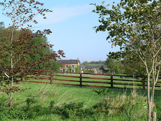 Mayfield Househouse · 348 yd
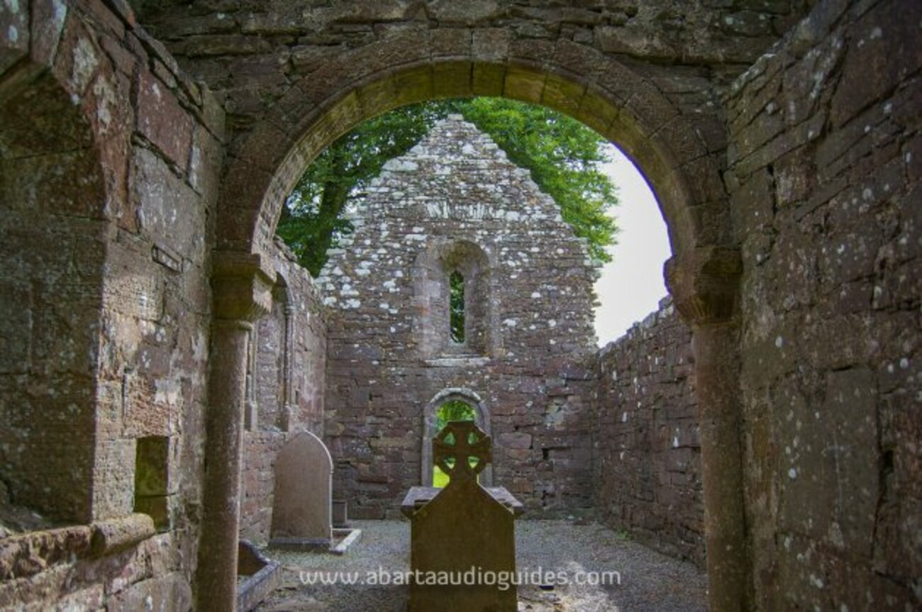 Enclosure in MonameaghEnclosure · 679 yd
 Brickendown Church (in ruins)Church · 890 yd
 Meldrum Castle (ruins)Castle · 1.0 mi
 Ballyknock HillMountain / peak · 2.2 mi
 Cashel Folk MusuemMuseum · 2.4 mi
 Black mulberryBlack mulberry · 2.5 mi
 The Rock Of CashelVisitor information · 2.5 mi
 Cormac's ChapelHeritage attraction · 2.5 mi
 Caucasian zelkovaCaucasian zelkova · 9.7 mi