What is recorded here
Fairy forts are not proven fairy homes, but people once lived inside these circular ditches and banks. Brade's fort is a shallow ring about thirty metres across, hidden in pasture on an NNW-facing slope. Trees still mark the enclosure that surveyors drew in 1842, while the earth has softened until the fort looks less like a boundary than like a breath held by the field.
In pasture, on break on NNW-facing slope. Circular enclosure planted with trees depicted on OS 6-inch map (1842). Circular area (diam. 30m) enclosed by slight rise. No other visible surface trace.
The above description is derived from the published 'Archaeological Inventory of County Cork. Volume 1: West Cork' (Dublin: Stationery Office, 1992). In certain instances the entries have been revised and updated in the light of recent research.
Date of upload/revision: 14 January 2009
The monument record does not grant public access. Check the route and ask the landowner before entering private land.
- What survives
- Recorded monument
Places near here
 Bláth na GréineWood · 68 yd
 Country house in BradeCountry house · 105 yd
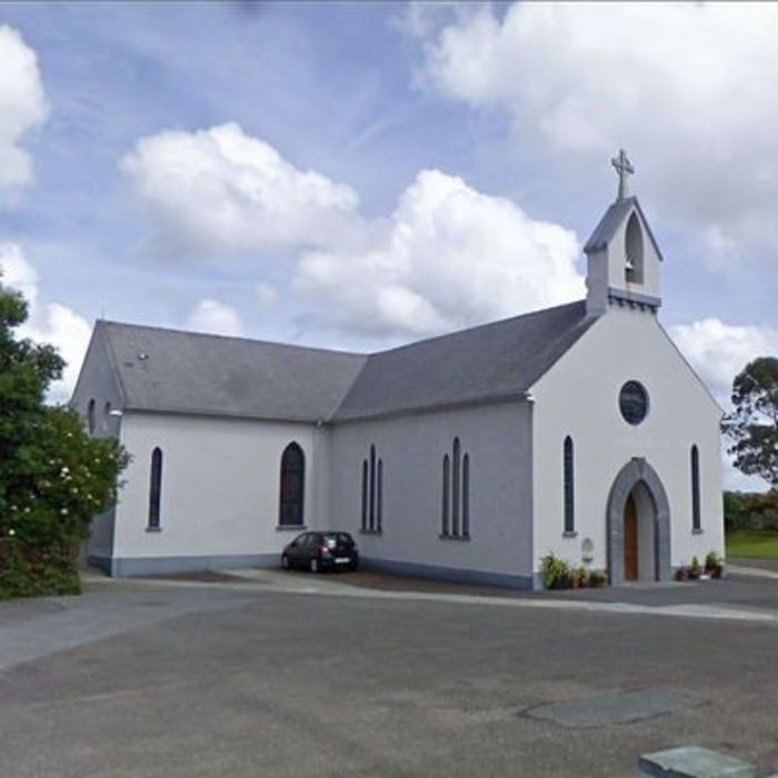 Church (in Ruins)Church · 175 yd
 Sitka SpruceSitka Spruce · 651 yd
 Childrens Burial Gd (Disused)Burial ground · 944 yd
 Burnt mound in Ardagh (carbery West (e.d.) By., Myross Par.)Burnt mound · 1079 yd
 Leap waterfallHeritage attraction · 1259 yd
 Myross PointHeadland · 1460 yd
 Cnoc BuíMountain / peak · 1.0 mi
 Wild Atlantic WayVisitor information · 1.1 mi
 Big HeightMountain / peak · 1.1 mi
 Tobar na gCapallSpring · 1.2 mi