What is recorded here
Fairy forts are often called forts because people once imagined them as strongholds. They may have been ordinary homes, farms or gathering places instead. The true meaning has faded, leaving behind a circular shape on the land.
On a gentle WSW-facing slope in pasture. Depicted as a circular enclosure with the designation 'Fort' on the 1837 ed. of the OS 6-inch map. A report in 1976 (SMR file) noted that this slightly raised circular area (diam. 41.7m) was enclosed by a bank of earth and stone with an external fosse. The bank has since been levelled but its outline and that of the infilled fosse are visible from ENE-S-NNW. It is divided by a NNW-SSE field boundary. The area to the NE of this is further divided by an ENE-WSW field boundary. The original entrance is not recognisable.
Compiled by: Patrick F. O'Donovan
Date of upload: 26 August 2011
The monument record does not grant public access. Check the route and ask the landowner before entering private land.
- What survives
- Recorded monument
Places near here
 CastleCastle, ringwork · 407 yd
 Enclosure in BracklonEnclosure · 444 yd
 IndicatedFairy fort / ringfort · 540 yd
 Church (in Ruins)Church · 1233 yd
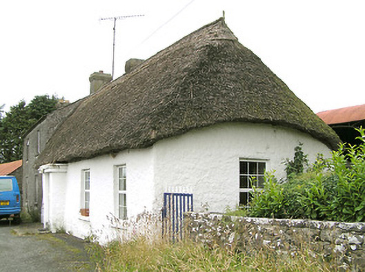 Moore's Townhouse · 1333 yd
 RuinsCastle, unclassified · 1.1 mi
 Edgeworthstown BypassMemorial · 1.7 mi
 Oldtown DemesneForest · 3.1 mi
 Oldtown CopseWood · 3.2 mi
 Clonfin Ambush MemorialMemorial · 3.6 mi
 Bully's Acregraveyard/cemetery, unknown · 4.4 mi
 Granard MotteMotte-and-bailey castle remains · 6.6 mi