What is recorded here
Fairy fort / earthen ringfort in Bracklon is a 19.4-metre circular earthwork in County Longford, Ireland. It stands in low pasture with a levelled three-metre bank, no visible entrance, and disused drains crossing its interior. The shape suggests a lived or marked place, yet human use has faded until the circle itself becomes the main fact.
In level, low-lying pasture. A raised circular area (diam. 19.4m) enclosed by a levelled bank (Wth c. 3m). There is no trace of a fosse and the original entrance is not recognisable. The interior is crossed by a series of disused field drains that were dug in the 1970s.
Compiled by: Patrick F. O'Donovan
Date of upload: 26 August 2011
This remains an important historical record, but the official description says the monument is no longer visible or has been destroyed. The monument record does not grant public access. Check the route and ask the landowner before entering private land.
- What survives
- No visible remains or recorded as destroyed
Places near here
 Enclosure in BracklonEnclosure · 456 yd
 IndicatedFairy fort / ringfort · 468 yd
 CastleCastle, ringwork · 804 yd
 Church (in Ruins)Church · 1236 yd
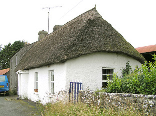 Moore's Townhouse · 1471 yd
 Moat & CastleCastle, motte and bailey · 1.2 mi
 Edgeworthstown BypassMemorial · 1.7 mi
 Oldtown DemesneForest · 2.7 mi
 Oldtown CopseWood · 2.7 mi
 Clonfin Ambush MemorialMemorial · 4.0 mi
 Bully's Acregraveyard/cemetery, unknown · 4.6 mi
 Granard MotteMotte-and-bailey castle remains · 7.1 mi