What is recorded here
Fairy fort in Brackagh, County Monaghan: a D-shaped earthen ring, 41 metres long, seated at the south-east end of a drumlin ridge. Its bank stands one and a half metres high outside, thinning to a sharp two-metre scarp at the southwest gap where the entrance likely opened. Grass and furze have smothered the top, and a field bank now cuts across the interior, yet the curve remains clear enough to walk inside and imagine whoever first shaped that ridge into a room.
Situated at the SE end of a NW-SE drumlin ridge. This is a D-shaped grass and furze-covered area (dims 41m NW-SE; 29m NW-SE) defined by an overgrown earthen bank (Wth of base 5.4-6.5m; int. H 0.3-0.5m; ext. H 1.5-1.6m) ESE-W-NNW frequently reduced to an external scarp (at SW: H 2.8m). The original entrance is likely to be that at SW (Wth of base 2.3m). The rath is cut by a NW-SE field bank with a drain on the SW side at NE.
The above description is derived from the published 'Archaeological Inventory of County Monaghan' (Dublin: Stationery Office, 1986). In certain instances the entries have been revised and updated in the light of recent research.
Compiled by: Michael Moore
Date of revision: 27 February 2018
The monument record does not grant public access. Check the route and ask the landowner before entering private land.
- What survives
- Recorded monument
Places near here
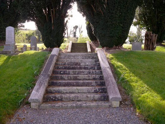 Holy Trinity Church (Donaghmoyne)church/chapel · 159 yd
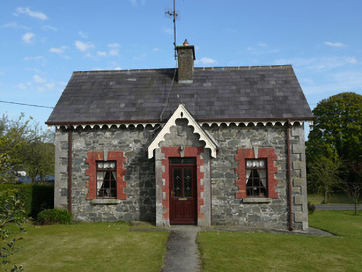 worker's houseworker's house · 259 yd
 IndicatedFairy fort / earthen ringfort · 716 yd
 Embanked enclosureFairy fort / earthen ringfort · 1326 yd
 KnockreaghMountain / peak · 1716 yd
 Fincarn HillMountain / peak · 1.9 mi
 Whites IslandIslet · 2.7 mi
 TobernagalliaghSpring · 2.9 mi
 Gully IslandIslet · 3.5 mi
 Mannan Castle (in ruins)Castle, Anglo-Norman masonry castle · 3.5 mi
 Lough MucknoLake and park landscape · 4.0 mi
 Bawn in OnomyBawn · 4.2 mi