What is recorded here
No fairies are required to explain the fort in Boyhill, although they remain a charming excuse for ignoring the evidence. The earthwork measures 44.8 metres across, forming a complete circular boundary within the grassland. A dug pit now occupies part of the interior, its sides strengthened with drystone rather than left as a simple hole. That change suggests the fort stopped being a dwelling and became a shelter for animals, human hands redirecting its purpose while the old bank continued to mark the shape.
In undulating grassland. Circular rath (diam. 44.8m), in fair condition, defined by a bank best
preserved from W through N to ESE. No visible surface trace survives from ESE to S where a pit has been dug into the interior of the monument. A field wall overlies the bank from S to WSW. A gap is evident SW. The sides of the pit have been faced with drystone-walling and Cody (1989, 177-8, no. 34) suggests that it may be an animal shelter. He also noted a slight depression just outside the bank at W which may be the remains of a fosse.
Compiled by: Galway Archaeological Survey, UCG
Date of upload: 6 January 2017
The monument record does not grant public access. Check the route and ask the landowner before entering private land.
- What survives
- Recorded monument
Places near here
 Enclosure in BottomEnclosure · 598 yd
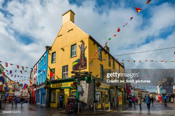 ToberconnellyHoly well · 844 yd
 St. Bridgets Church (in Ruins)Church · 1452 yd
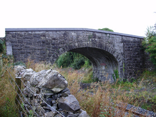 Farranablake Bridgebridge · 1464 yd
 Athenry AbbeyHeritage attraction · 1.2 mi
 Athenry CastleHeritage attraction · 1.3 mi
 Castle or King Johns Court (in ruins)Castle, Anglo-Norman masonry castle · 1.3 mi
 Horse-chestnutHorse-chestnut · 1.5 mi
 Moyard WoodWood · 1.7 miFirst Battle of Athenrybattle · 2.0 mi
 Moyode CastleCastle · 2.3 mi
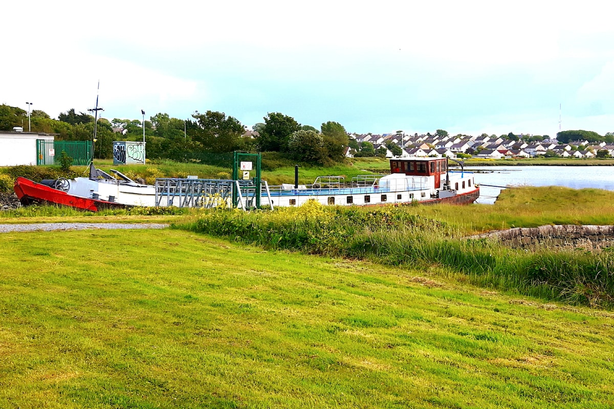 Fulacht fia in Baunmore (athenry By.)Fulacht fia · 849 yd