What is recorded here
No visible bank survives from the southeast through the south to the west, yet the missing curve is still written in the land. Three field boundaries cut the ruin and meet near its centre, as if the fort had taught the fields to spiral inward. Whatever lived inside that circle stopped being a home and became a shape for owning grass. The fairy fort is no longer a fort at all, but a fort-shaped hole in the memory of the townland, waiting for someone to stop measuring it and start listening.
In undulating pastureland. Poorly preserved subcircular rath (c. 34m E-W) defined by a bank, no visible surface trace of which survives from SE through S to W. Three field boundaries, which cut the monument at NNE, S and WNW, converge in the interior, just to E of centre.
Compiled by: Galway Archaeological Survey, UCG
Date of upload: 6 January 2017
The monument record does not grant public access. Check the route and ask the landowner before entering private land.
- What survives
- Recorded monument
Places near here
 Enclosure in BottomEnclosure · 546 yd
 ToberconnellyHoly well · 700 yd
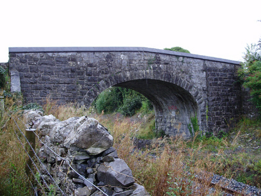 Farranablake Bridgebridge · 1097 yd
 St. Bridgets Church (in Ruins)Church · 1181 yd
 Athenry AbbeyHeritage attraction · 1.1 mi
 Athenry CastleHeritage attraction · 1.2 mi
 Castle or King Johns Court (in ruins)Castle, Anglo-Norman masonry castle · 1.2 mi
 Horse-chestnutHorse-chestnut · 1.4 mi
 Moyard WoodWood · 1.8 miFirst Battle of Athenrybattle · 1.9 mi
 Moyode CastleCastle · 2.4 mi
 Fulacht fia in Baunmore (athenry By.)Fulacht fia · 836 yd