What is recorded here
No amount of money would tempt the local farmer to level the mysterious mound in Boveen, yet machines erased it in the late 1960s. The soil remembers what human arrogance forgetes, because corn still grows taller along the hidden channel. Green height marks the forgotten boundary, proving that earth keeps its own records long after people stop paying attention.
In pastureland in the valley of the Little Brosna River. According to local information, a mound (diam. c. 26m; H c. 0.6m) with a deep channel around it was located here. It was very overgrown with beech and cherry trees and was levelled in the late 1960s (SMR file). No visible surface trace of it survives. Apparently corn grows higher in the line of the channel. Also known locally as a fort.
Compiled by: Olive Alcock
Date of upload: 21 September 2018
The monument record does not grant public access. Check the route and ask the landowner before entering private land.
- What survives
- Recorded monument
Places near here
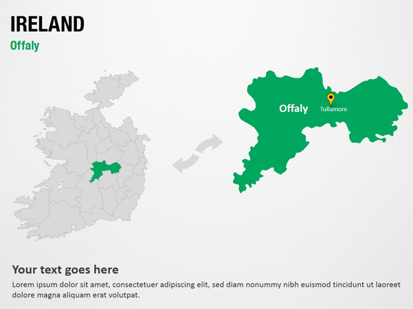 IndicatedFairy fort / earthen ringfort · 427 yd
 BarrowBarrow, ring-barrow · 990 yd
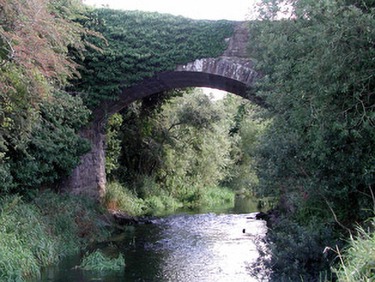 Sharavogue Bridgebridge · 1626 yd
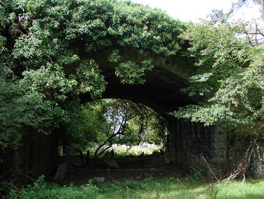 bridgebridge · 1630 yd
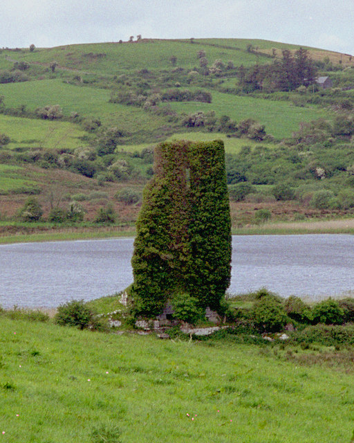 CastleCastle, tower house · 1.4 mi
 OCarrolls Castle (in Ruins)Bawn · 2.3 mi
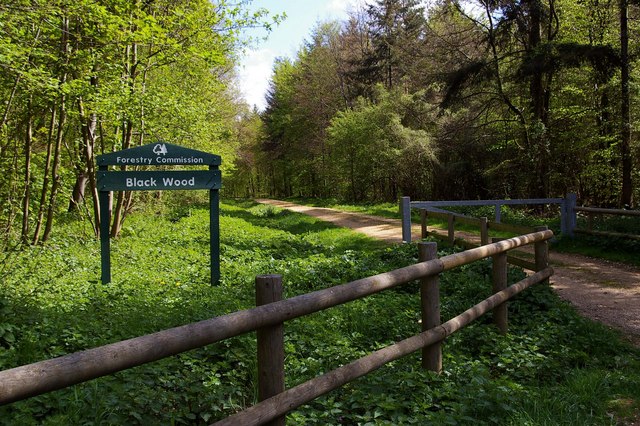 Black WoodForest · 2.7 mi
 Eagle HillMountain / peak · 2.9 mi
 Cangort WoodWood · 3.2 mi
 Golden Grove HillMountain / peak · 3.7 mi
 Leap CastleCastle · 3.8 mi
 Saint Kieran's WellSpring · 5.8 mi