What is recorded here
No fort remains visible in Boughill, though McCrea’s Map of County Monaghan marked an enclosure there in 1793. Every later map erased it, leaving behind a absent circle in wet, level ground. The fairies may have taken the earth back, or people may have stopped remembering the place where the earth once stood proud.
Situated on a level, low-lying landscape. An enclosure is depicted at Boughill in this vicinity only on McCrea’s Map of County Monaghan (1793), but it is not marked on any later map. No archaeological feature is evident at ground level but the precise location is not known.
The above description is derived from the published 'Archaeological Inventory of County Monaghan' (Dublin: Stationery Office, 1986). In certain instances the entries have been revised and updated in the light of recent research.
Revised by: Michael Moore
Date of revision: 17 July 2007
The monument record does not grant public access. Check the route and ask the landowner before entering private land.
- What survives
- Recorded monument
Places near here
 Giants GraveCourt tomb · 466 yd
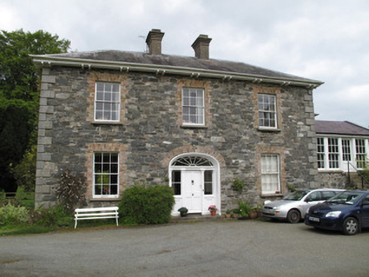 Killygorman Househouse · 812 yd
 8Archaeological place · 932 yd
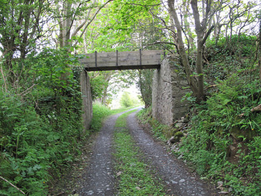 aqueductaqueduct · 1021 yd
 Roosky Castle (Site of)Castle, ringwork · 1.1 mi
 KillycoonaghWood · 1.2 mi
 Common LimeCommon Lime · 1.3 mi
 Saint John's WellSpring · 1.4 mi
 Jaundice WellSpring · 1.4 mi
 Lisarrilly HillMountain / peak · 1.6 mi
 Abbey RuinsHeritage attraction · 3.4 mi
 The Cassandra Hand CentreMuseum · 3.4 mi