What is recorded here
Fairy forts are not fairy forts. They are human ringforts, misnamed because people stopped remembering the hands that built them. In Bough that hand is nearly gone, reduced to a shallow dip and a low ridge. The facts leave a hole where the life should be. I would like to know who lived there, what they kept inside, and when the fort fell out of use.
The following description is derived from the published 'Archaeological Inventory of County Carlow' (Dublin: Stationery Office, 1993). In certain instances the entries have been revised and updated in the light of recent research.
Date of upload/revision: 17 July 2007
Originally large and substantial monument now very degraded. Consists of large circular area (diam. c. 37m) defined by gentle embankment (H 1m; L of slope 3m) with now shallow fosse (Wth c. 4m) and very low external bank. Circular platform (diam. c. 21m) within enclosed area. Downslope (i.e. SE) features are scarped and causeway/ramp interrupts bank and fosse.
The monument record does not grant public access. Check the route and ask the landowner before entering private land.
- What survives
- Recorded monument
Places near here
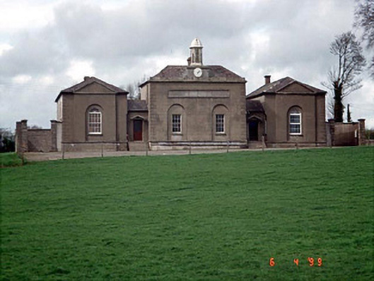 D'Israeli Schoolschool master's house · 255 yd
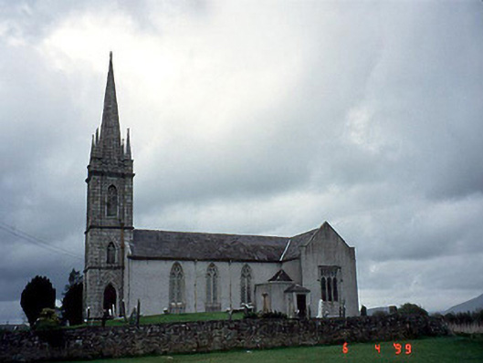 Saint Mary's Church (Rathvilly)church/chapel · 871 yd
 Enclosure in Ricketstown SouthEnclosure · 1326 yd
 Rathvilly MoatArchaeological place · 1.3 mi
 Rahill Church (in ruins), GraveyardChurch · 2.1 mi
 Church (in ruins), Cross, GraveyardChurch · 2.7 mi
 Coppenagh CastleCastle, tower house · 3.7 mi
 CastleCastle, unclassified · 3.8 mi
 European BeechEuropean Beech · 3.8 mi
 Duckett's GroveHeritage attraction · 4.7 mi
 European ashEuropean ash · 5.6 mi
 Saint Brigit's Mass StoneNamed rock · 5.9 mi