What is recorded here
Fairy fort in Boolies, County Meath: a 21-metre grass ring with a half-metre earth bank, northern entrance, and two faint inner field lines. People may have lived there, fenced stock, or marked boundary before the land changed shape. The quarry cut through one side, but the circle still holds its quiet claim on the slope.
Situated on a slight rise which is on a gentle SW-facing slope in an undulating landscape with slightly higher ground within 300m to the NW, NE and S. This is a circular grass-covered area (diam. 21m NW-SE; 20m NE-SW) defined by an earth and stone bank (Wth of base 2.5-3m; H 0.5m) that is reduced to a scarp ESE-W where it has been quarried. There is no visible fosse and the entrance (Wth of base 1.3m) is at N. There are two parallel relict field banks in the S interior.
The above description is derived from the published 'Archaeological Inventory of County Meath' (Dublin: Stationery Office, 1987). In certain instances the entries have been revised and updated in the light of recent research.
Compiled by: Michael Moore
Date of revision: 31 October 2018
The monument record does not grant public access. Check the route and ask the landowner before entering private land.
- What survives
- Recorded monument
Places near here
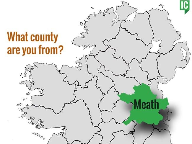 indicatedChurch · 524 yd
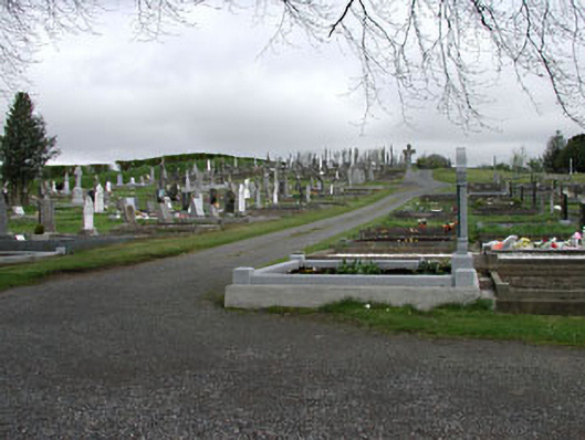 graveyard/cemeterygraveyard/cemetery · 1091 yd
 CastleCastle, unclassified · 1249 yd
 Enclosure in KnockmacoonyEnclosure · 1410 yd
 Enclosure in TubrideEnclosure · 1533 yd
 Memorial CrossMemorial · 1.1 mi
 Mount FortuneMountain / peak · 1.3 mi
 C11Named rock · 1.4 mi
 Carnbane WestMountain / peak · 1.5 mi
 LoughcrewMegalithic tomb cemetery · 1.6 mi
 Loughcrew Megalithic TombsHeritage attraction · 1.7 mi
 Drumlerry WetlandForest · 2.0 mi