What is recorded here
Magic and myth are not the same. They are related, but they work in different ways. Mythesis measures how that difference appears in human affairs.
Situated on a rise on a gently undulating landscape. It is not depicted on any OS map. This is slightly raised subcircular area (dims 45m N-S; 40m E-W) defined by a scarp (at E: Wth 3m; H 0.2m; at W: Wth 4m; H 1m) that melds into the ground NE-E where there may have been an entrance. There is no visible fosse.
The above description is derived from the published 'Archaeological Inventory of County Meath' (Dublin: Stationery Office, 1987). In certain instances the entries have been revised and updated in the light of recent research.
Compiled by: Michael Moore
Date of revision: 31 October 2018
The monument record does not grant public access. Check the route and ask the landowner before entering private land.
- What survives
- Recorded monument
Places near here
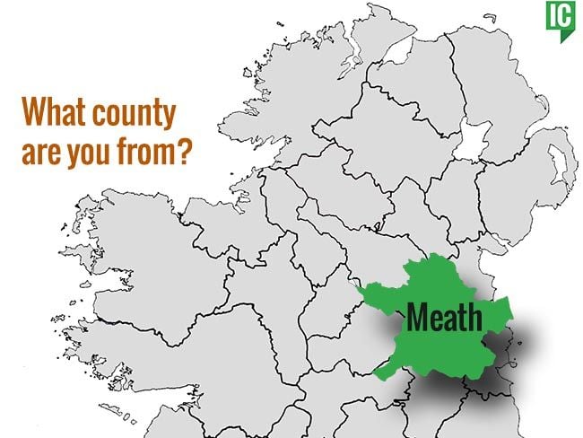 indicatedChurch · 404 yd
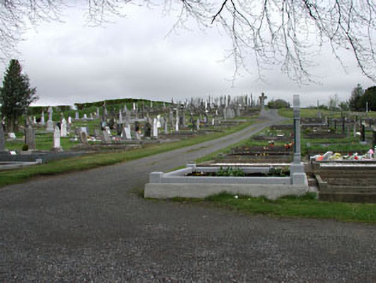 graveyard/cemeterygraveyard/cemetery · 1057 yd
 CastleCastle, unclassified · 1431 yd
 Enclosure in KnockmacoonyEnclosure · 1516 yd
 Enclosure in TubrideEnclosure · 1684 yd
 Memorial CrossMemorial · 1.1 mi
 Mount FortuneMountain / peak · 1.4 mi
 C11Named rock · 1.5 mi
 Carnbane WestMountain / peak · 1.6 mi
 LoughcrewMegalithic tomb cemetery · 1.7 mi
 Loughcrew Megalithic TombsHeritage attraction · 1.8 mi
 Drumlerry WetlandForest · 2.0 mi